Maple Hollow
1941
2000
Description:
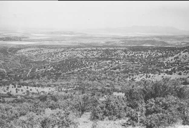
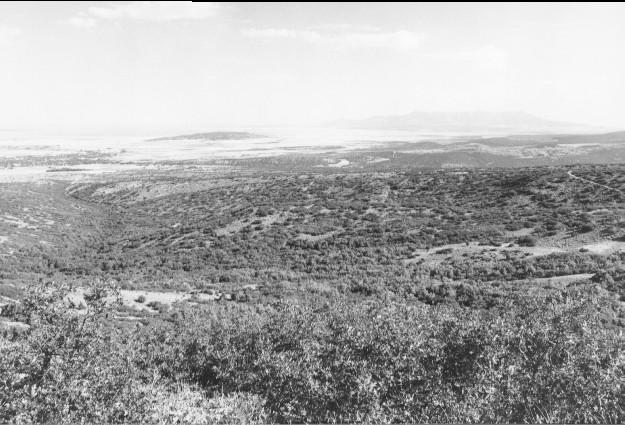
Plate 262. MAPLE HOLLOW 1941-2000 Plates 261-263 form a panorama across Maple Hollow from west to north. The earlier photos show the fencelines established by the Utah Division of Wildlife Resources to enclose the agency’s mule deer research facility (see Plates 177 and 178). This entire area was burned by a very hot wildfire during the fall of 1942 (see Plates 177, 178, and 265-267). Judging by the present vegetation, however, it is difficult to tell the area was once swept by a raging crown fire. Oakbrush is now 15-20 ft tall, while maple is 20-30 feet in height. True mountain mahogany and sagebrush have also recovered. Plate 262 is viewed northwest to Fillmore, Utah.
Photo Information:
U.S. Forest Service photo 415752 by S. S. Hutchings on September 19, 1941; retake by Charles E. Kay on August 6, 2000 - - Photo No. 4673-13A; Original photo held by Utah Historical Society, Reed W. Bailey Collection, Salt Lake City, UT.
Vegetative Community:
Oakbrush, Mountain Brush, Sagebrush
Location:
South Central: Section 10, Range 4 W, Township 22 S; UTM 388700 E, 4307300 N; elevation 6,600 ft.