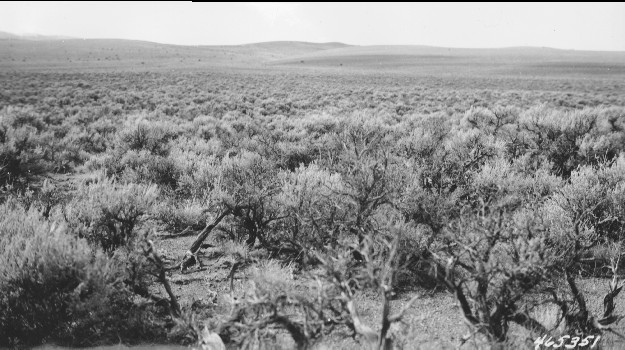
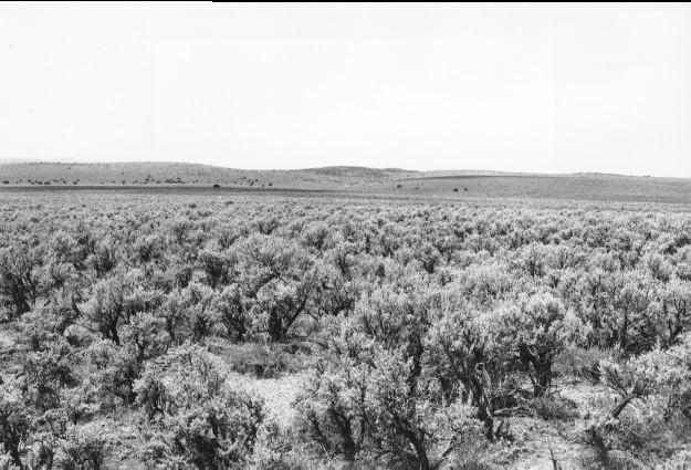
Little Lost Creek Flats
1945
2000
Description:
Plate 216. LITTLE LOST CREEK FLATS 1945-2000 Viewed southwest across Little Lost Creek Flats one half mile south of Elbow Spring. Sagebrush appears unchanged but pinyon, juniper, and oakbrush have increased on the distant hillsides. This site is on BLM land just south of the Fishlake National Forest boundary.
Photo Information:
U.S. Forest Service photo 465351 taken by Blaine Betenson in October 1945; retake by Charles E. Kay on July 30, 2000 - - Photo No. 4649-14 Original photo (2200 Fishlake-21) held by the Forest Service Regional Office Photographic Collection housed at Weber State University, Ogden, UT.
Vegetative Community:
Sagebrush, Pinyon, Juniper, Oakbrush
Location:
South Central: Section 19, Range 1 E, Township 24 S; UTM 427200 E, 4284850 E; elevation 7,100 ft.
January 2018