Kolob-Crystal Divide
1939
2006
Description:
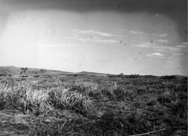
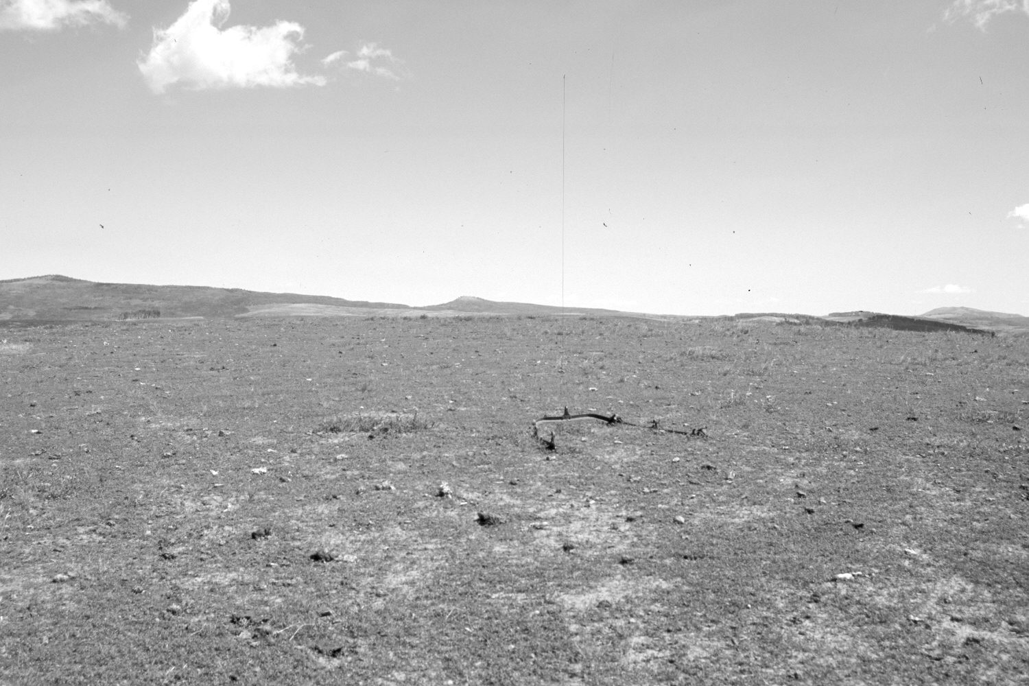
Plate 1314X. Kolob-Crystal Divide 1939 – 2006 Viewed north on the divide between Kolob Creek to the south and Crystal Creek to the north on Cedar Mountain. Pryor Knoll (9,820 ft) is in the distance. The low shrubs in the 1939 image are snowberry, while the taller plants are chokecherry. Note the four horses in the original photograph. Today, the area is a sheep bed-ground and most vegetation has been eaten or trampled.
Photo Information:
Original photograph taken by Gregory (No. 884) in 1939; retake by Charles E. Kay on July 12, 2006 - - Photo No. 5686-3. Original photograph held by the U.S. Geological Survey Photographic Library, Denver, CO.
Vegetative Community:
Dry Meadow
Location:
South West: Section 19, Range 10 West, Township 38 South; UTM 321300 E, 4151650 N; elevation 9,270 ft.