King Creek
1953
2003
Description:
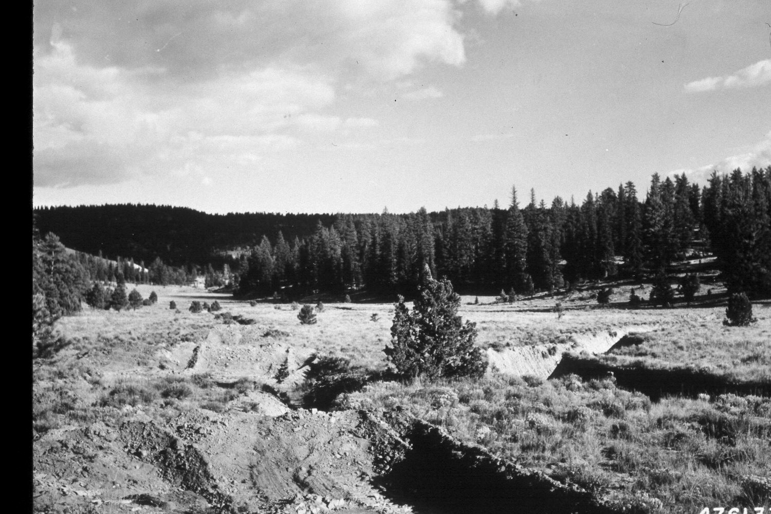
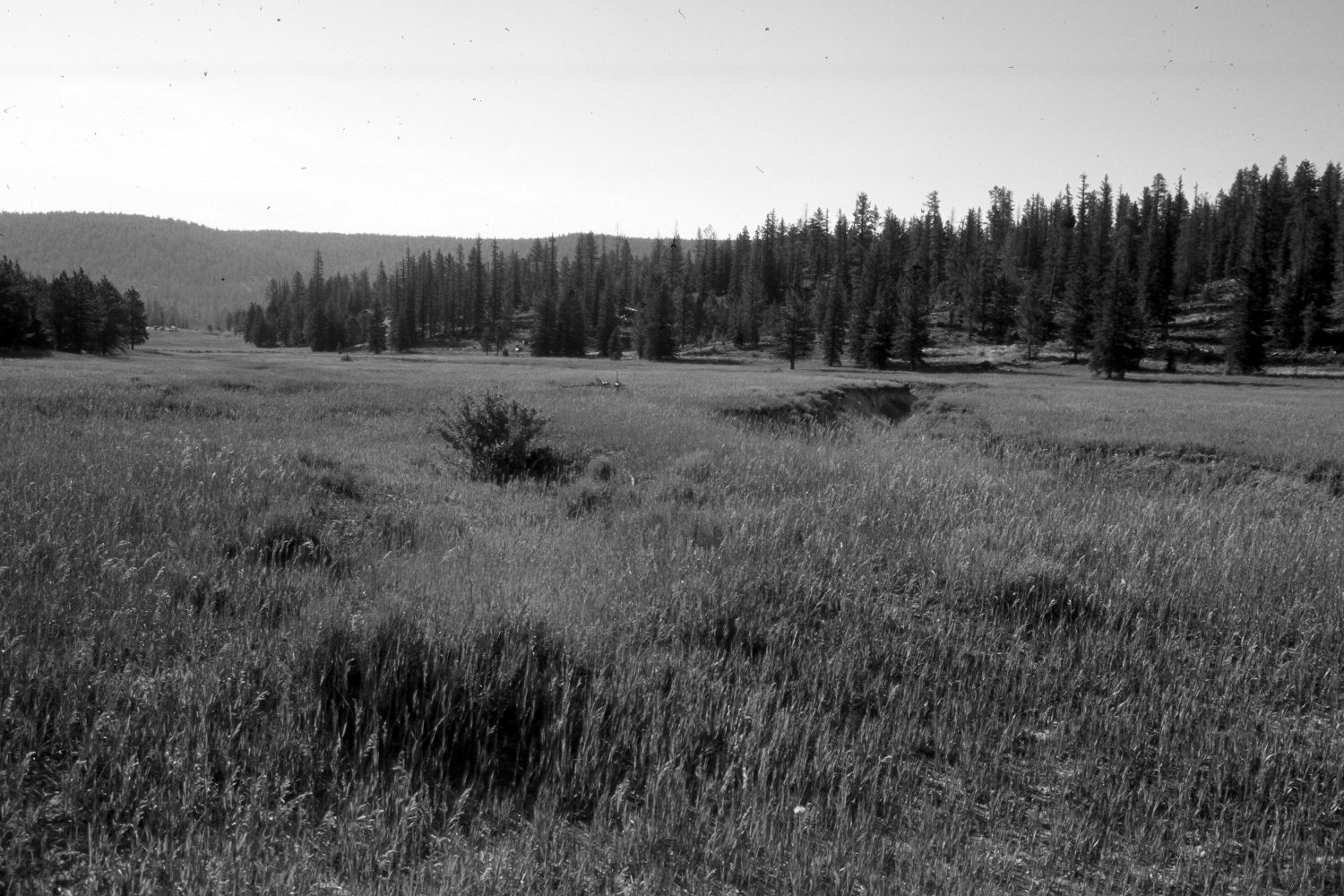
Plate 305X. King Creek 1953 - 2003 Viewed southeast down King Creek on the Paunsaugunt Plateau. The entire area has been root-plowed and reseeded with smooth brome and intermediate wheatgrass by the Forest Service to control erosion. During that process, all the conifers that had invaded the meadow were removed. The original photo also shows the gully plugs that were installed in the old roadway. The hillsides have been logged. Nevertheless, ponderosa pine, spruce, and juniper have increased. The shrubs in the meadow are mostly rubber rabbitbrush. The area had not been grazed by livestock in 2003 when the camera station was revisited.
Photo Information:
U.S. Forest Service photograph (476133) taken by Lowell J. Farmer on October 14, 1953; retake by Charles E. Kay on August 9, 2003 - - Photo No. 5233-23. Original photograph (2520-2-Land Treatment-Dixie) held by the Forest Service Regional Office Photographic Collection housed at Weber State University, Ogden, UT.
Vegetative Community:
Dry Meadow, Conifer, Juniper
Location:
South West: Section 16, Range 4 West, Township 37 South; UTM 388000E, 4164600 N; elevation 8,010 ft.