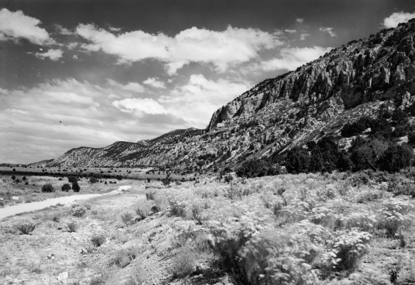
Hurricane Cliffs
1942
2006
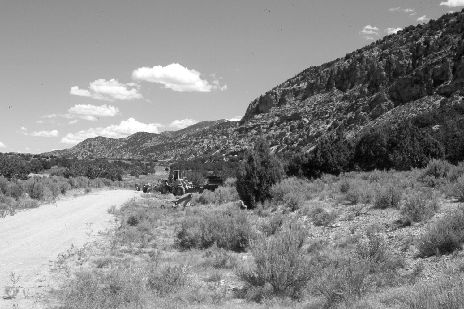
Description:
Plate 1421X. Hurricane Cliffs 1942 – 2006 Viewed northeast along the western slope of the Hurricane Cliffs south of Kanarraville, Utah. The vehicles in the retake are at the mouth of a gravel pit that extends to the east (right). Pinyon and juniper have increased.
Photo Information:
Original photograph taken by Gregory (No. 1098) in 1942; retake by Charles E. Kay on August 8, 2006 - - Photo No. 5727-15. Original photograph held by the U.S. Geological Survey Photographic Library, Denver, CO.
Vegetative Community:
Pinyon, Juniper
Location:
South West: Section 16, Range 12 West, Township 38 South; UTM 304250 E, 4151300 N; elevation 5,220 ft.
January 2018