Henderson Canyon
ca. 1920
2002
Description:
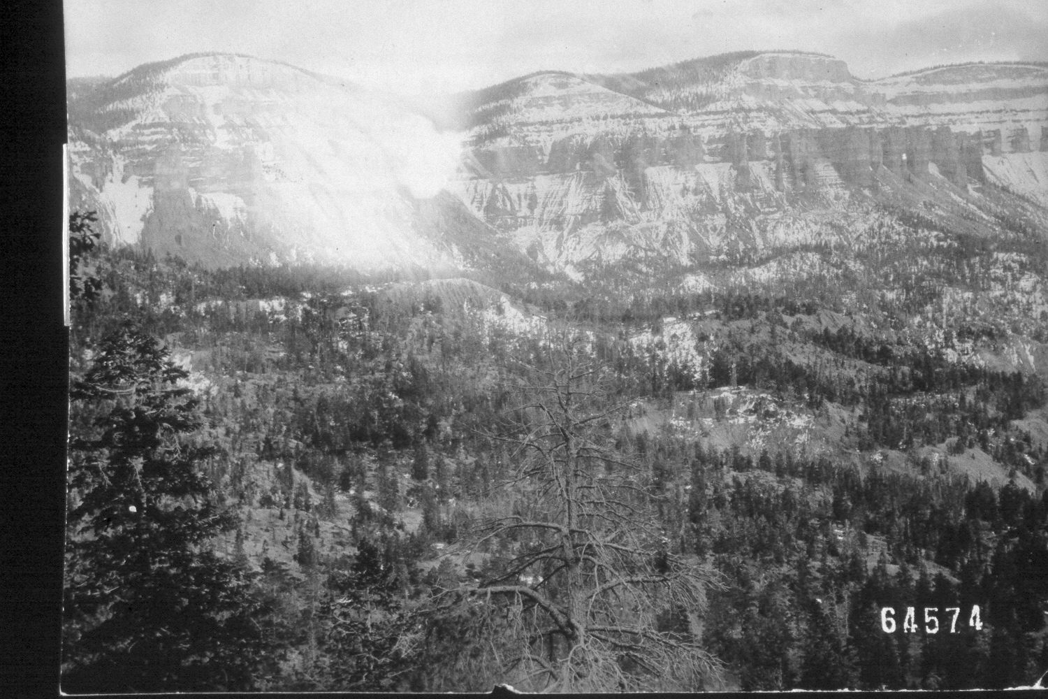
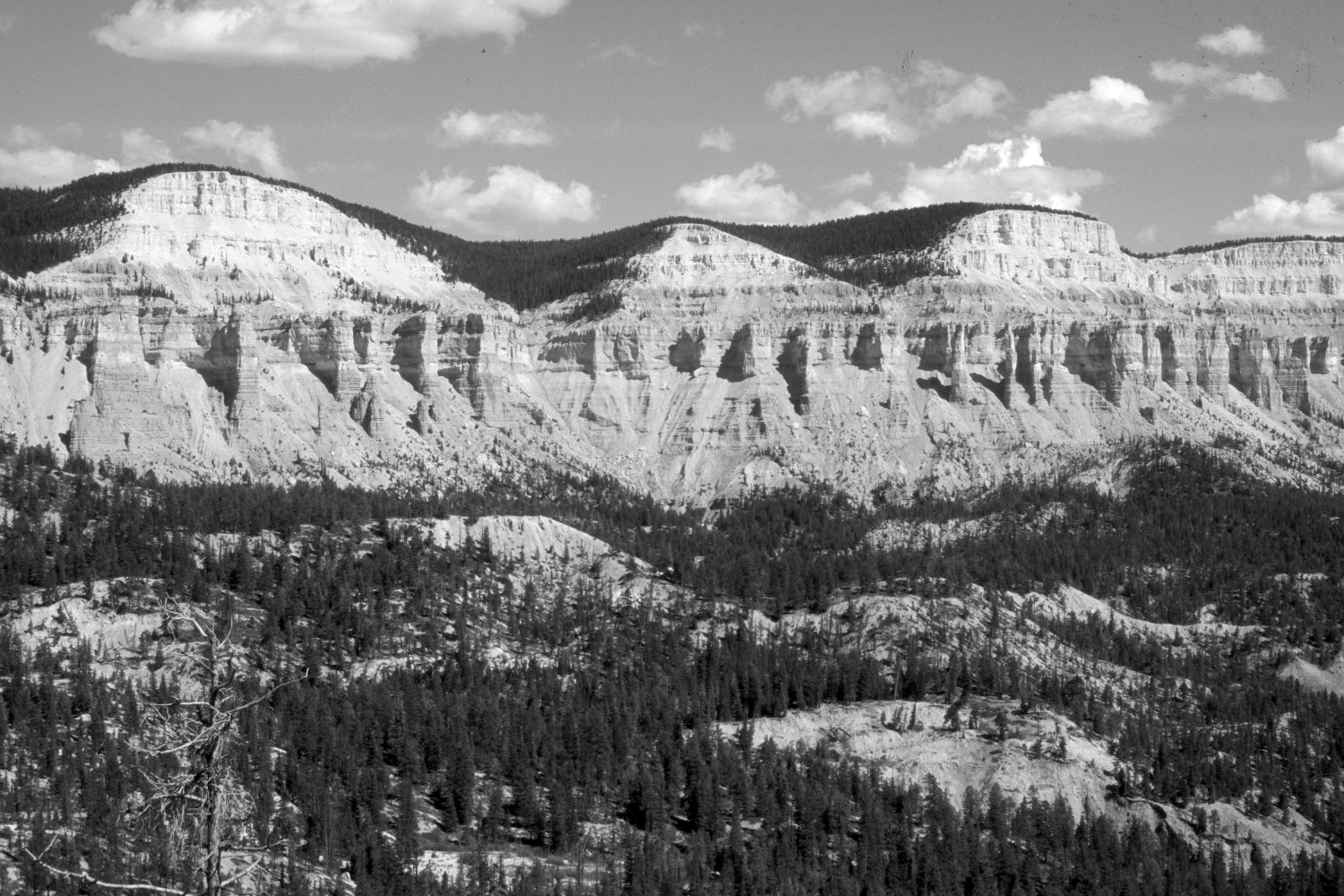
Plate 108X. Henderson Canyon ca. 1920-2002 Viewed southeast across the head of Henderson Canyon to Table Cliff Plateau (10,200 ft.). Powell Point is just off the photo to the right. Conifers now block the original camera station, so the retake was made from the nearest open area. The conifers in Henderson Canyon are primarily ponderosa pine, Douglas fir, and spruce with a scattering of limber pine on the drier sites. There has been little apparent change on these harsh sites - - this is part of the Wasatch Formation, which naturally has high erosion rates and little soil development. There are no roads in this area and Henderson Canyon has not been logged. Bristlecone pine is common on the plateau, as well as some of cliffs and harsher sites. Note the snow in the original, which was probably taken in late fall.
Photo Information:
U.S. Forest Service photograph 64574 taken ca. 1920; retake by Charles E. Kay on August 7, 2002 - - Photo No. 5021-4. Original photograph held by U.S. Forest Service Regional Photographic Collection (2310-Dixie-130) housed at Weber State University, Ogden, UT.
Vegetative Community:
Conifer
Location:
South West: Section 31, Range 1 West, Township 35 South; UTM 418000E, 4174700N; elevation 8,940 ft.