Harris Flat
1953
2004
Description:
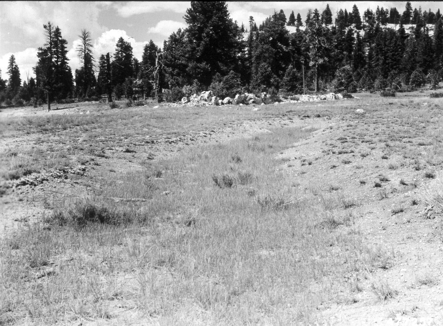
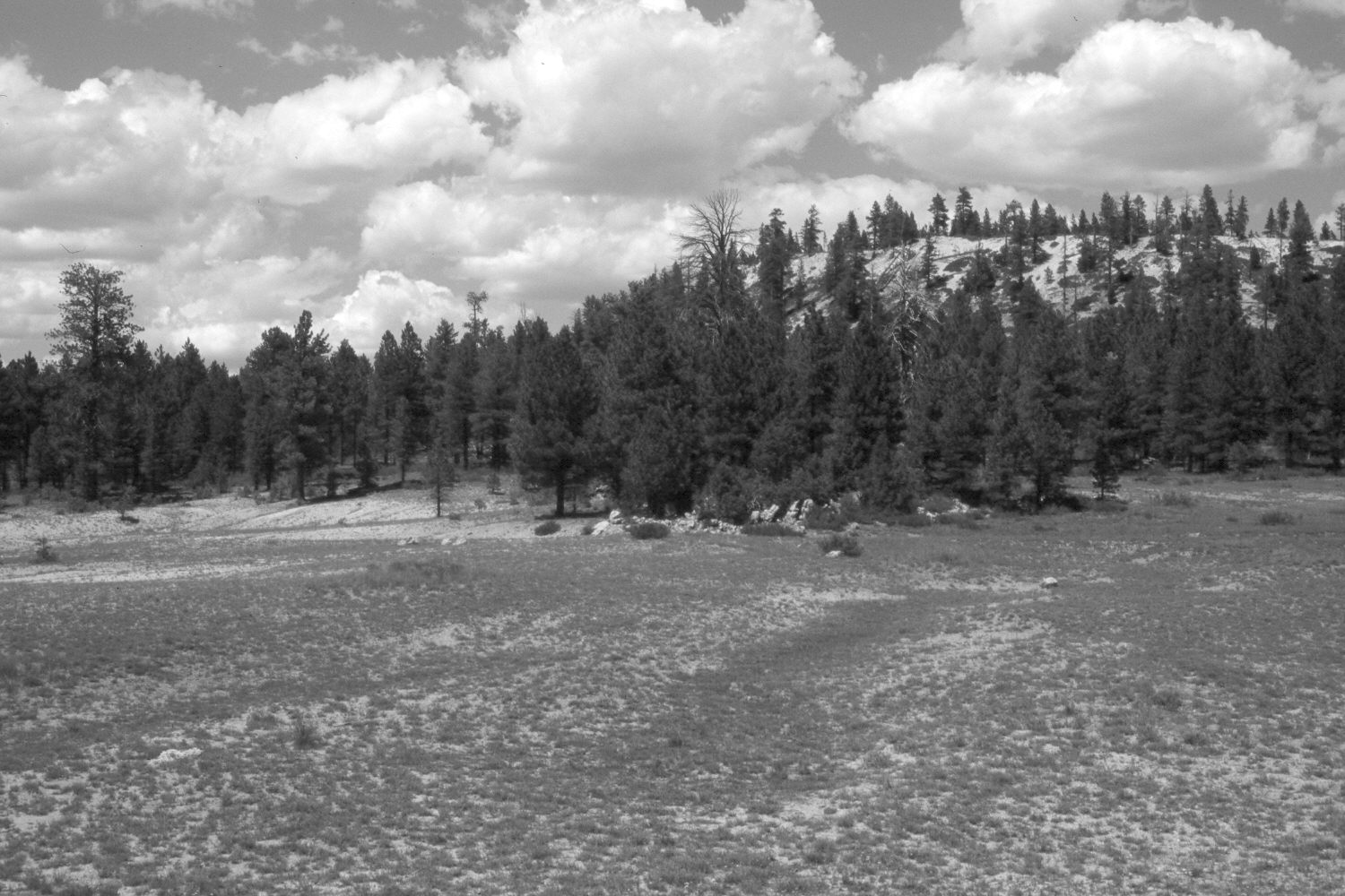
Plate 565X. Harris Flat 1953 – 2004 Viewed north-northwest across Harris Flat just north of Utah Highway 14. The original photograph was taken to document “a gully well stabilized by western wheatgrass”. Forage production was less in the retake, however, due to the extended drought - - the site had not been grazed by livestock in 2004. Ponderosa pine, pinyon, and juniper have all increased.
Photo Information:
U.S. Forest Service photograph (477257) taken by I.H. Johnson on July 15, 1953; retake by Charles E. Kay on August 7, 2004 - - Photo No. 5369-26. Original photograph held by Southern Utah University Archives and Special Collections, Cedar City, UT.
Vegetative Community:
Dry Meadow, Conifer, Pinyon, Juniper
Location:
South West: Section 24, Range 7 West, Township 38 South; UTM 366350 E, 4150850 N; elevation 7,770 ft.