Escalante Canyon
1940
2004

Description:
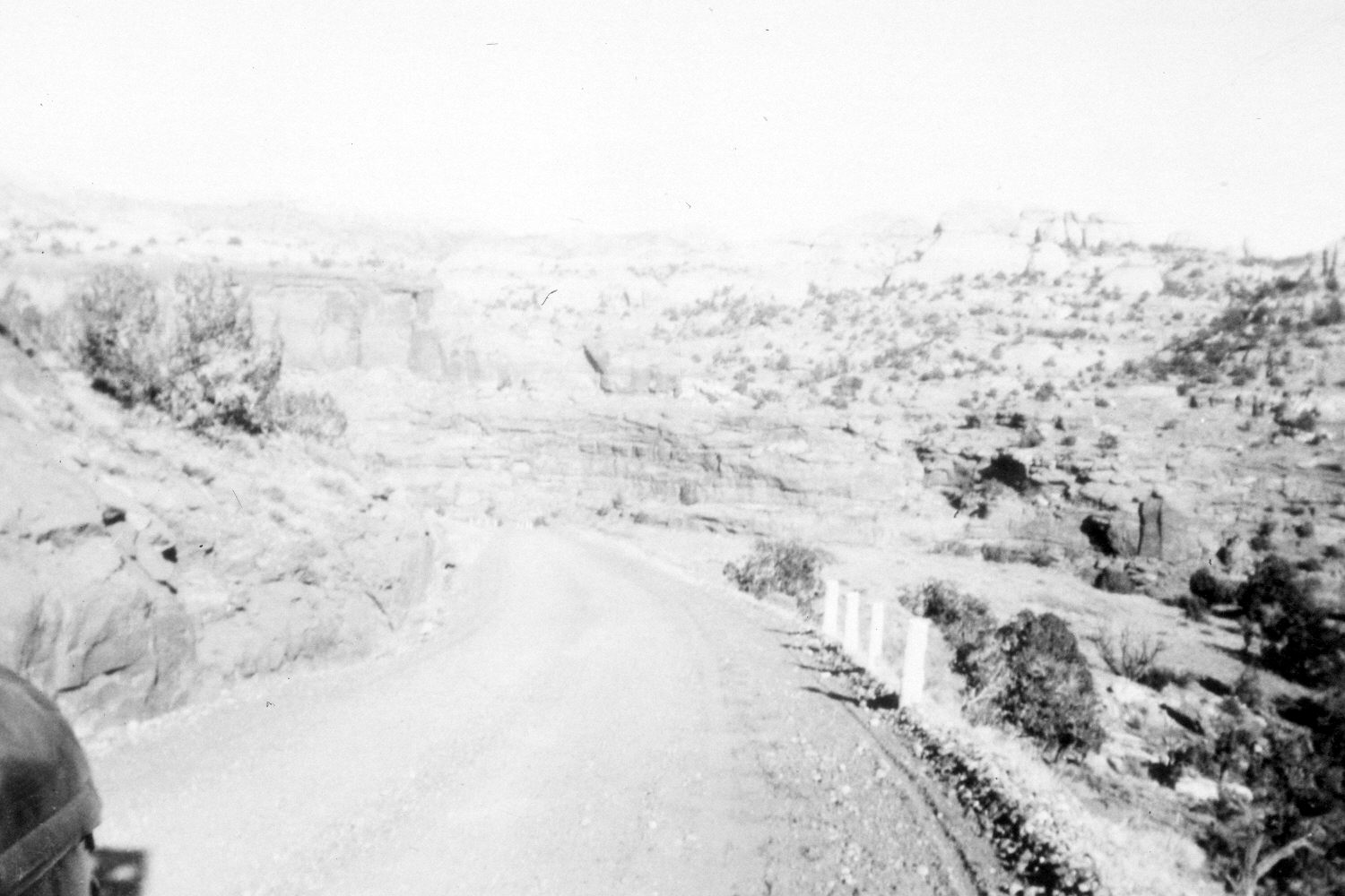
Plate 504X. Escalante Canyon 1940 – 2004 Viewed northeast down Utah Highway 12 and into Escalante Canyon. The road descends to the bridge over the Escalante River. Utah Highway 12 has been widened and paved. Pinyon and juniper appear to have increased.
Photo Information:
The original photograph was taken by M. Noall and C.W. Noall ca. 1940; retake by Charles E. Kay on June 10, 2004 - - Photo No. 5341-29. Original photograph (PO-188-n54) held by Marriott Library Special Collections, University of Utah, Salt Lake City, UT.
Vegetative Community:
Pinyon, Juniper
Location:
South West: Section 12, Range 4 East, Township 35 South; UTM 463450 E, 4180350 N; elevation 5,340 ft.
January 2018