East Fork Of The Sevier River
1960
2003
Description:
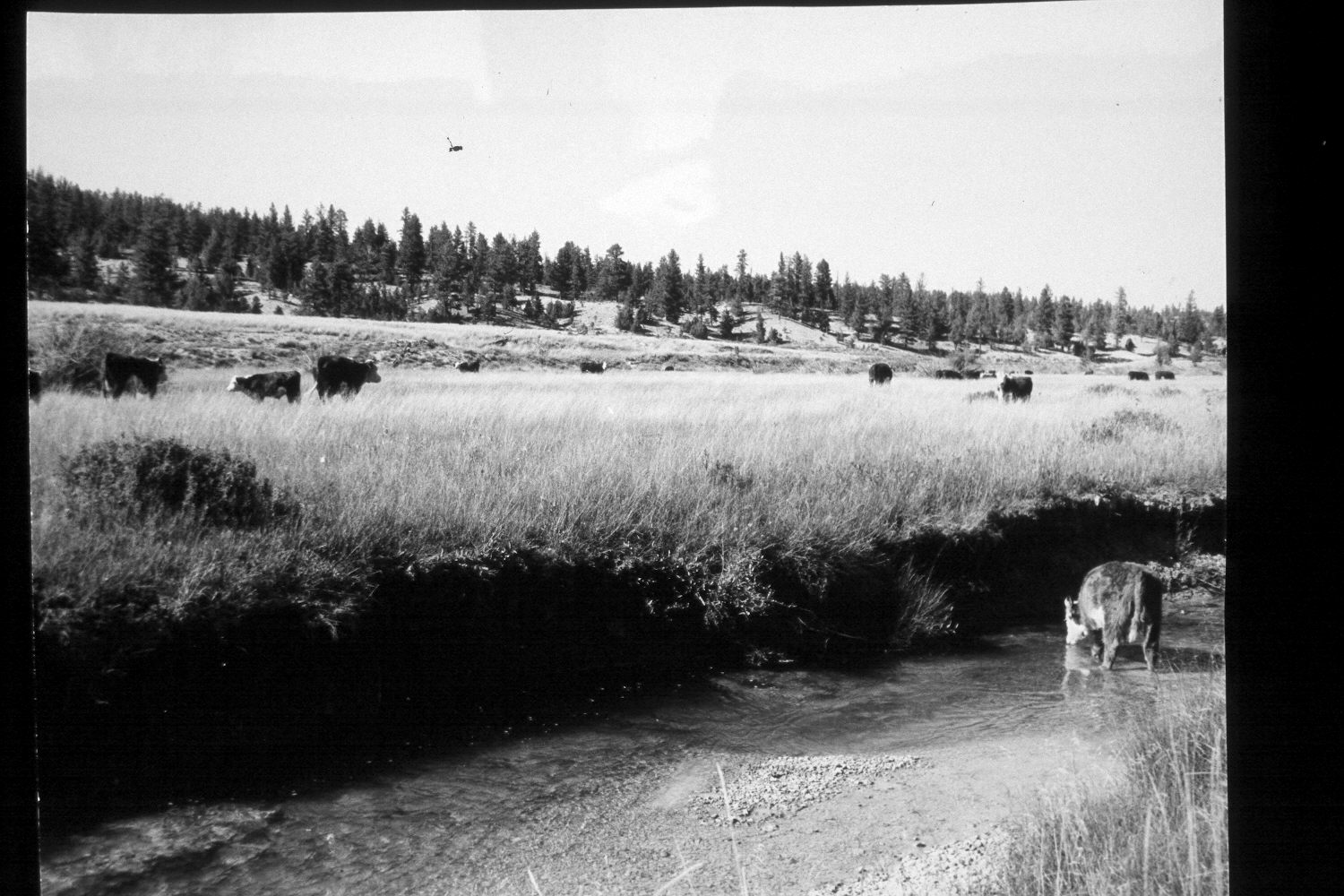
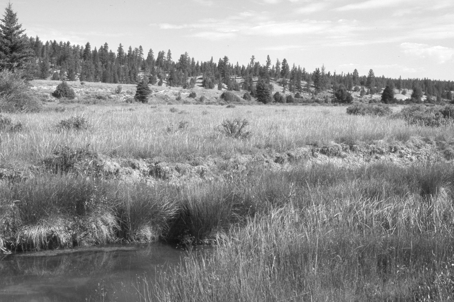
Plate 308X. East Fork of the Sevier River ca. 1960 - 2003 Viewed north-northwest down the East Fork of the Sevier River about one mile below Tropic Reservoir and just across from Mill Hollow. Plates 307x, 308x, and 309x were taken within 100 yards of each other. Despite selective logging, ponderosa pine, spruce, and juniper have all increased on the far hillside, while mountain big sage has increased on the bench above the floodplain. Shrubby cinquefoil, river birch, currant, and rose have all increased. A few willows are also present, but those plants are heavily browsed. The area was not grazed by cattle in 2003 when the site was revisited, but fresh elk and mule deer sign was observed. Kentucky bluegrass is common along the floodplain, while native sedges and rushes line the stream.
Photo Information:
U.S. Forest Service photograph (unnumbered) taken ca. 1960; retake by Charles E. Kay on August 9, 2003 - - Photo No. 5233-32. Original photograph held by Southern Utah University Archives and Special Collections, Cedar City, UT.
Vegetative Community:
Conifer, Juniper, Sagebrush, Riparian
Location:
South West: Section 32, Range 4 West, Township 36 South; UTM 390350 E, 4164800 N; elevation 7,980 ft.