East Fork Of The Sevier River
1921
2003
Description:
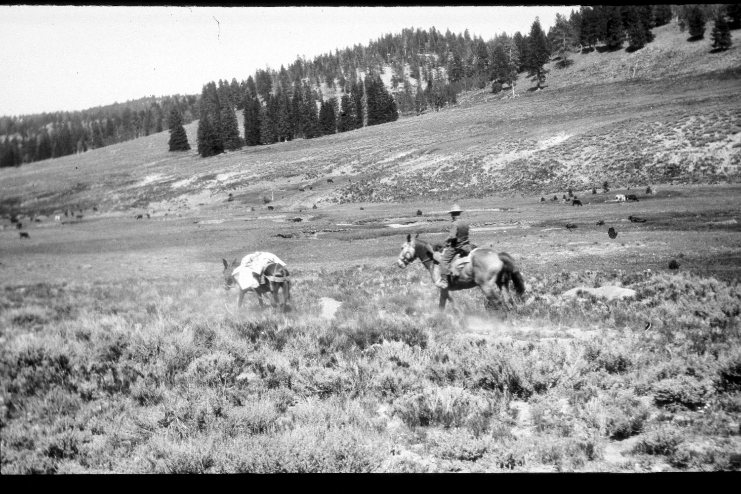
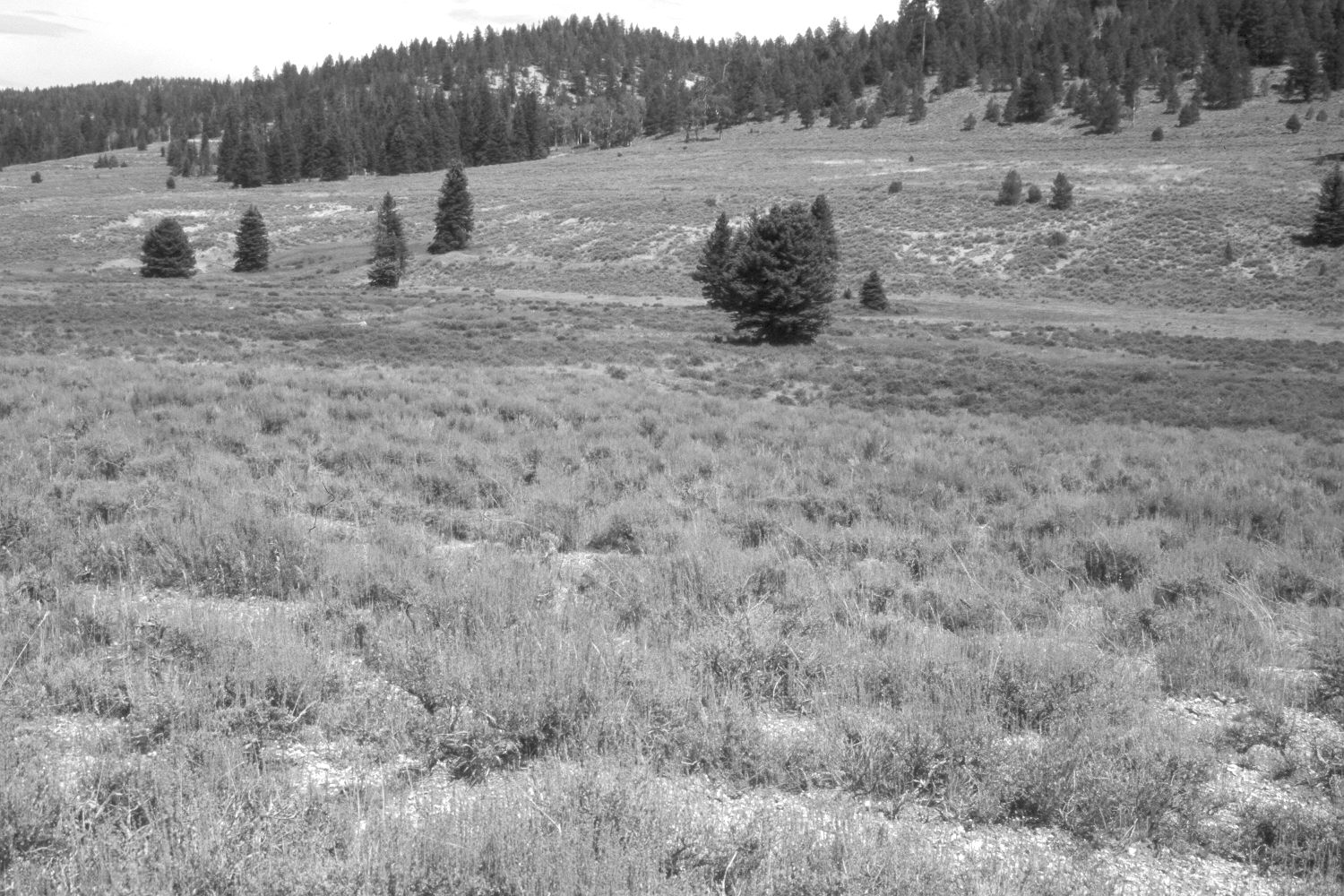
Plate 291X. East Fork of the Sevier River 1921 - 2003 Viewed northeast across the East Fork of the Sevier River between Puma Hollow and Kanab Creek on the Paunsaugunt Plateau. Despite repeated logging, spruce, ponderosa pine, and juniper have increased, but aspen has declined. The slope in the foreground, as well as the hillside beyond the river, have been contour-trenched and reseeded by the Forest Service to control erosion and improve range conditions. Planted grasses include smooth brome, Kentucky bluegrass, and intermediate wheatgrass. Native needle and thread is also present. Mountain big sage appears unchanged, but shrubby cinquefoil has increased along the stream. Note the cattle in the original image for scale. The area had not been grazed by livestock in 2003 when the site was revisited. The streambanks appear more vegetated today than they did in the past.
Photo Information:
U.S. Geological Survey Photograph by R.C. Moore (No. 5) taken in 1921; retake by Charles E. Kay on August 7, 2003 - - Photo No. 5227-22. Original photograph held by the U.S. Geological Survey Photographic Library, Denver, CO.
Vegetative Community:
Conifer, Juniper, Aspen, Dry Meadow, Sagebrush, Riparian
Location:
South West: Section 1, Range 4½ West, Township 38 South; UTM 385900E, 4153800 N; elevation 7,980 ft.