East Fork Of The Sevier River
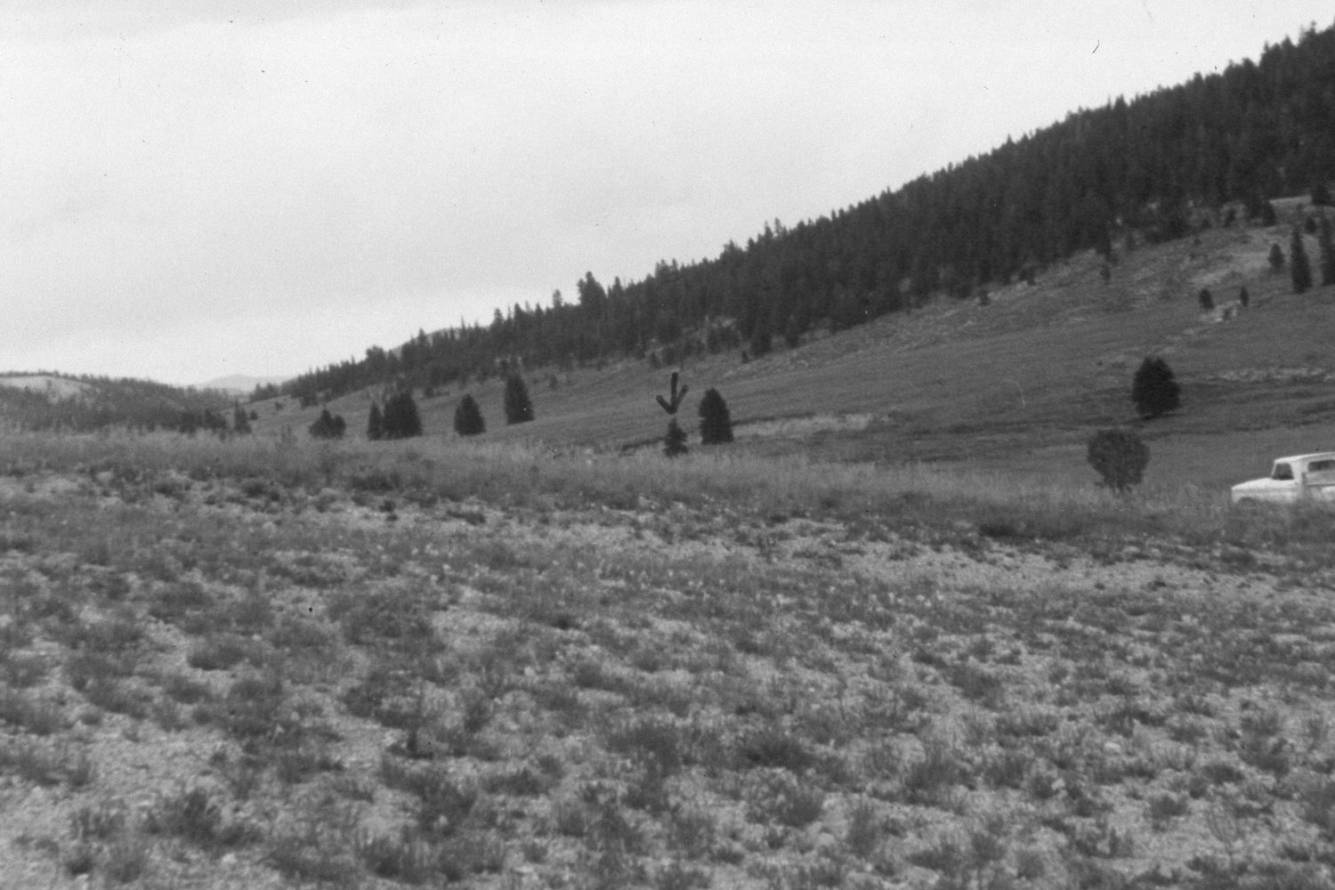
1979

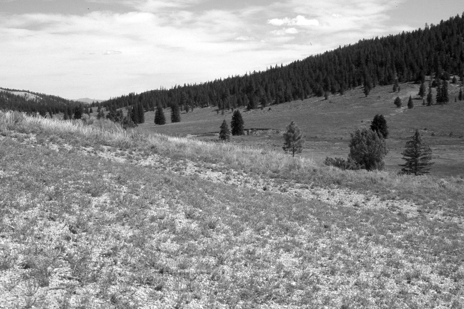
2003

Description:
Plate 267X. East Fork of the Sevier River 1979 – 2003 The East Fork of the Sevier River Photo Plot Transect was established in 1943, and re-read in 1948, 1953, 1961, and 1979. Two plot-lines were set-out from a common starting point approximately one-half mile north of Blubber Creek. The first line runs in a southwesterly direction for 1200 feet, while line two runs in a southeasterly direction for 600 feet. According to the 1943 narrative report, the area was once a wet meadow but as the East Fork eroded and down-cut 5 to 7 feet “the plants growing there have died out and Artemisia, Gutierrezia, Chrysothamaus, and Kochia have come in. Much of the area is still entirely barren [from overgrazing] or has valueless weeds growing on it.” Willows were described as having once been abundant along the stream, but most were killed-out by repeated browsing and the lowered watertable. Heavy grazing had “obliterated” most native grasses and the hillsides were described as “severely eroded”. In 1961, “Fresh alluvial deposits [were] common [and] drainage ways [had] deepened.” By 1979, however, “the area [showed] tremendous improvement” after much of the East Fork had been reseeded by the Forest Service during the early 1960s (unpublished reports in the range files on the Panguitch Ranger District, Dixie National Forest, Panguitch, UT). Plate 267x is viewed northeast from the end of line one back to the Photo Plot Transect’s common starting point. Ponderosa pine, spruce, and juniper have all increased. The area in the foreground was not reseeded or otherwise treated by the Forest Service. The most common native grass is needle and thread. The penned arrow in the distance on the 1979 image marks the Photo Plot Transect starting point.
Photo Information:
U.S. Forest Service photographs (unnumbered) taken by Jim Bowns and Al Tail on July 17, 1979; retake by Charles E. Kay on August 6, 2003 - - Photo No. 5218-17A. Original photographs, negatives, and narrative reports held in the range files on the Panguitch Ranger District, Dixie National Forest, Panguitch, UT.
Vegetative Community:
Dry Meadow, Conifer, Juniper
Location:
South West: Section 25, Range 4½ West, Township 37 South; UTM of transect starting point 387350E, 4157100 N; elevation 7,120 ft.


 Utah 4-H & Youth