East Fork Of The Sevier River
1964
2003
Description:
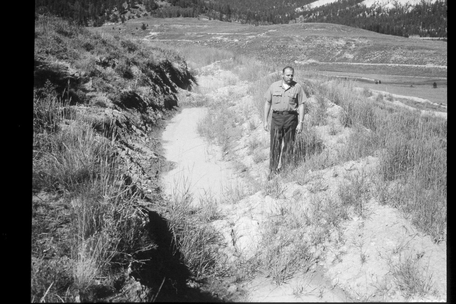
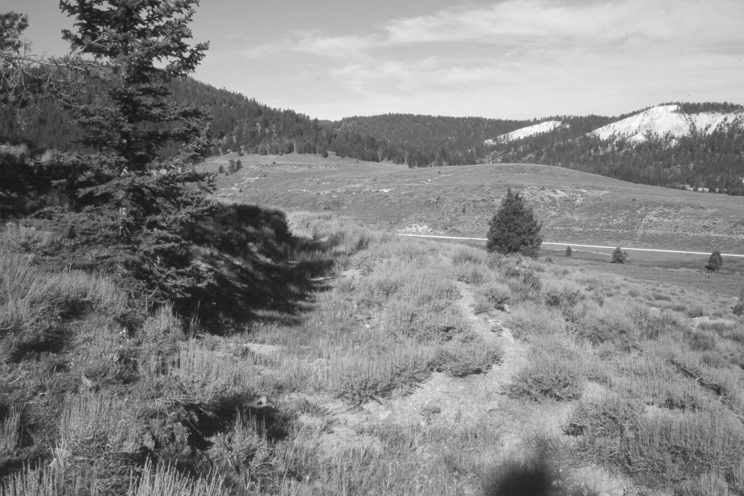
Plate 263X. East Fork of the Sevier River 1964-2003 Viewed southwest across the East Fork of the Sevier River and up Kanab Creek on the Paunsaugunt Plateau. The area had been contour-trenched and reseeded in 1963 by the Forest Service to control erosion at a cost of around $90 per acre. Water in the contour trenches seen in the original image was from a storm four days prior to when that picture was taken. The camera station for this photo-pair is 300 feet down hill from that of Plate 261x. Spruce, ponderosa pine, Douglas fir, limber pine, and white fir have all increased, while aspen in the distance has declined. Sagebrush has increased in the foreground. Intermediate wheatgrass and Kentucky bluegrass and the most common grasses. Rubber rabbitbrush is also present in the retake.
Photo Information:
U.S. Forest Service photograph (508801) taken by Prater in August 1964; retake by Charles E. Kay on August 6, 2003 - - Photo No. 5216-33. Original photograph held by U.S. Forest Service Regional Office Photographic Collection housed at Weber State University, Ogden, UT.
Vegetative Community:
Conifer, Aspen, Sagebrush, Dry Meadow
Location:
South West: Section 1, Range 4½ West, Township 38 South; UTM 385950E, 4154600 N; elevation 7,990 ft.