East Fork Of The Sevier River
1959
2003
Description:
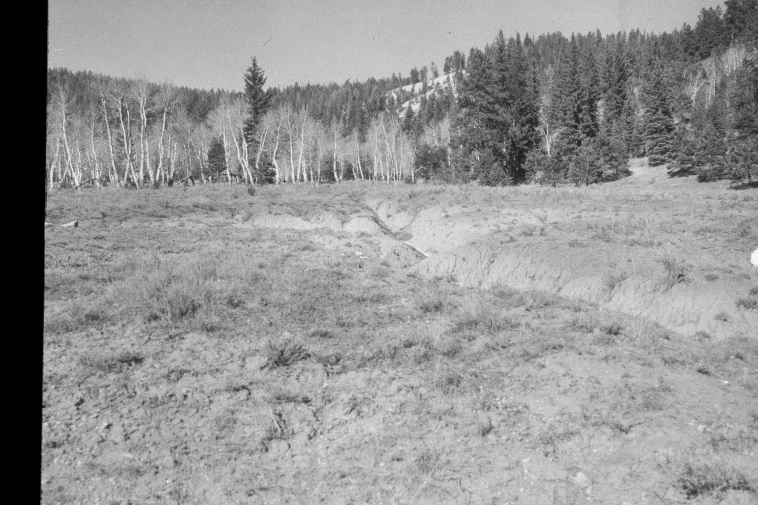
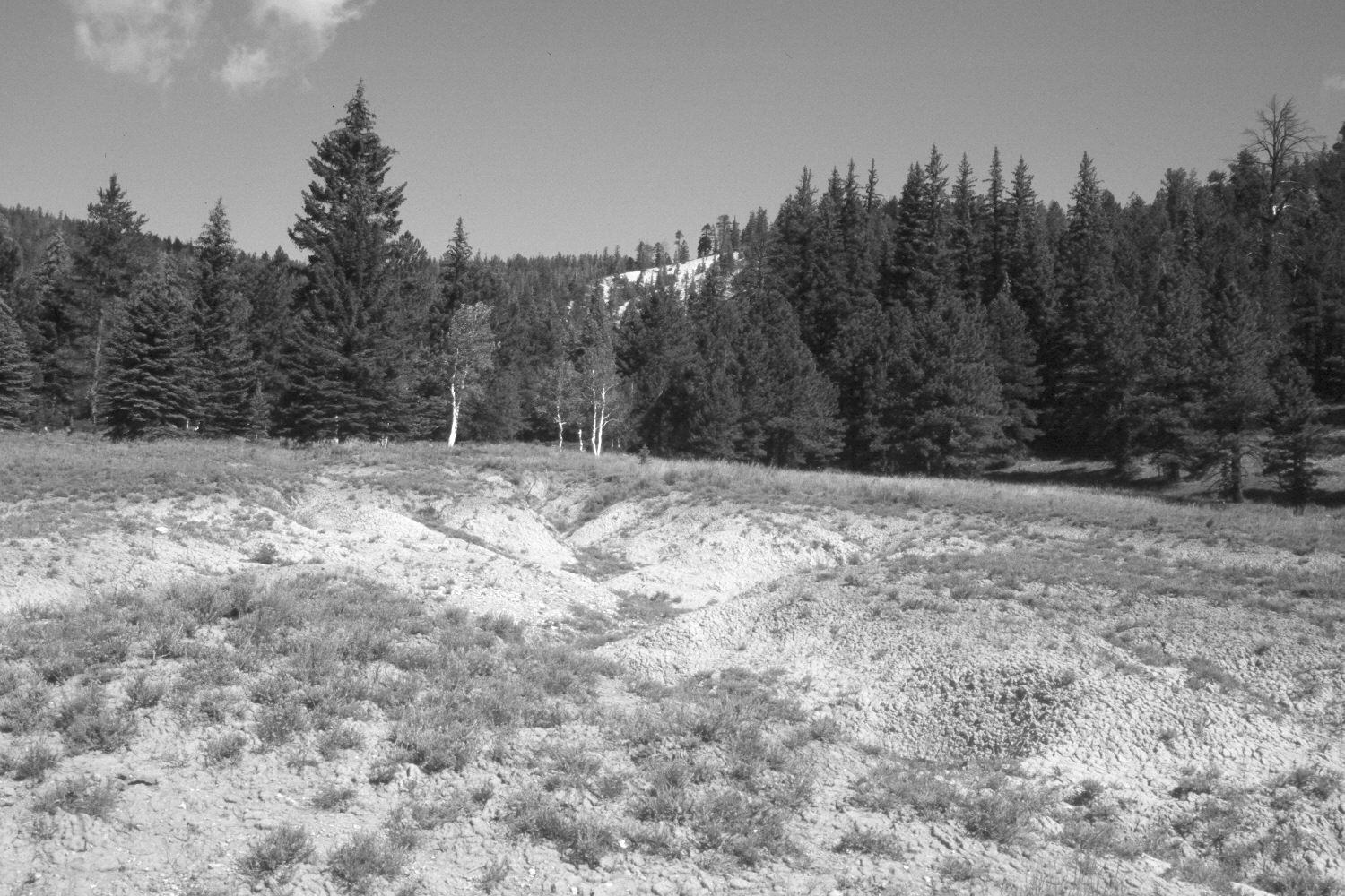
Plate 218X. East Fork of the Sevier River 1959 - 2003 Viewed north from the East Fork Road (USFS 087) approximately 300 yards below Sieler Creek. Despite changes in range management, erosion at this site has continued. Aspen has declined, while spruce and ponderosa pine have increased. Retakes from this camera station were also made by the Forest Service in 1988 and 2000.
Photo Information:
U.S. Forest Service photograph (unnumbered) taken in the spring of 1959; retake by Charles E. Kay on August 3, 2003 - - Photo No. 5198-30A. Original photograph held in the range files on the Panguitch Ranger District, Dixie National Forest, Panguitch, UT.
Vegetative Community:
Aspen, Conifer
Location:
South West: Section 34, Range 4 ½ West, Township 38 South; UTM 383000E, 4176700N; elevation 8,260 ft.