East Fork Of The Sevier River
1959
2003
Description:
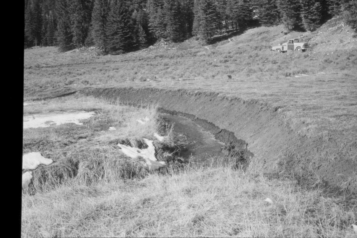
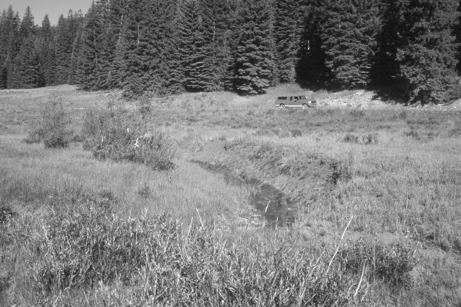
Plate 231X. East Fork of the Sevier River 1959 - 2003 Viewed west-southwest up the East Fork of the Sevier River 500 yards below Mill Creek. Despite repeated browsing by cattle, elk, and deer, willows have increased. In addition, the streambanks appear more heavily vegetated today than they were in the earlier photo, plus there has been very little bank erosion in 44 years. Spruce has increased, while aspen has declined. The vehicles in both photographs are on USFS road 087. The low shrubs between the stream and the road are rubber rabbitbrush. The area was actively being grazed by cattle in 2003. Retakes were also made from this camera station by the Forest Service in 1988 and 2000.
Photo Information:
U.S. Forest Service photograph (unnumbered) taken in the spring of 1959; retake by Charles E. Kay on August 4, 2003 - - Photo No. 5206-11A. Original photograph held in the range files on the Panguitch Ranger District, Dixie National Forest, Panguitch, UT.
Vegetative Community:
Riparian, Conifer, Aspen
Location:
South West: Section 11, Range 4 ½ West, Township 39 South; UTM 381500E, 4144300N; elevation 8,300 ft.