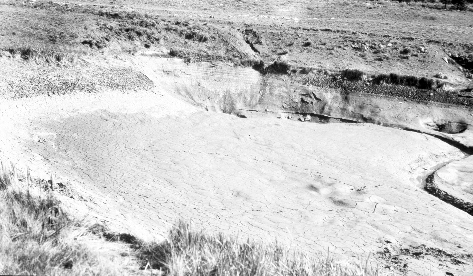
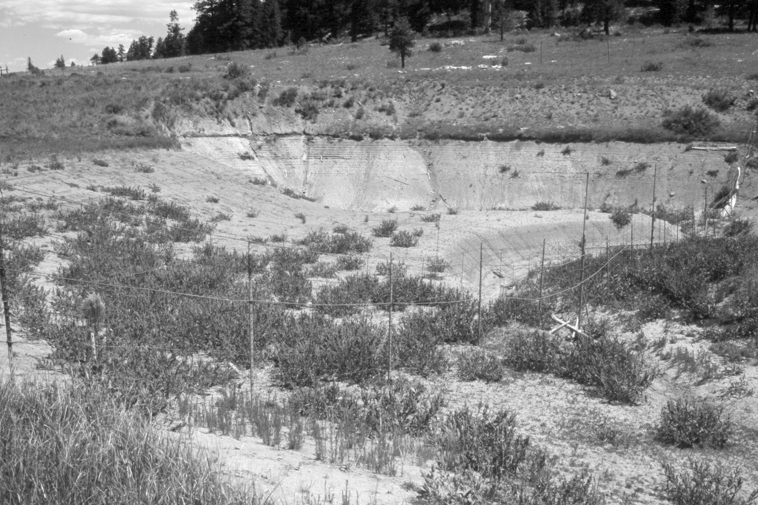
Duck Creek Sink
1943
2004
Description:
Plate 601X. Duck Creek Sink 1943 – 2004 Viewed northeast to the sink on Duck Creek - - this is where the stream disappears underground - - see Plate 600x. The sink is more vegetated today than in the past, which likely is the result of the recent extended drought. As reduced flows down Duck Creek have failed to fill the sink, plants have become established - - see Plate 600x. A new boundary fence has been constructed. Dixie National Forest is to the right and private property to the left.
Photo Information:
Original photograph taken by H.E. Gregory (No. 1185) in 1939; retake by Charles E. Kay on June 30, 2004 - - Photo No. 5353-31A. Original photograph held in the U.S. Geological Survey Photographic Library, Denver, CO.
Vegetative Community:
Dry Meadow
Location:
South West: Section 16, Range 6 West, Township 39 South; UTM 364300 E, 4143100 N; elevation 6,950 ft.