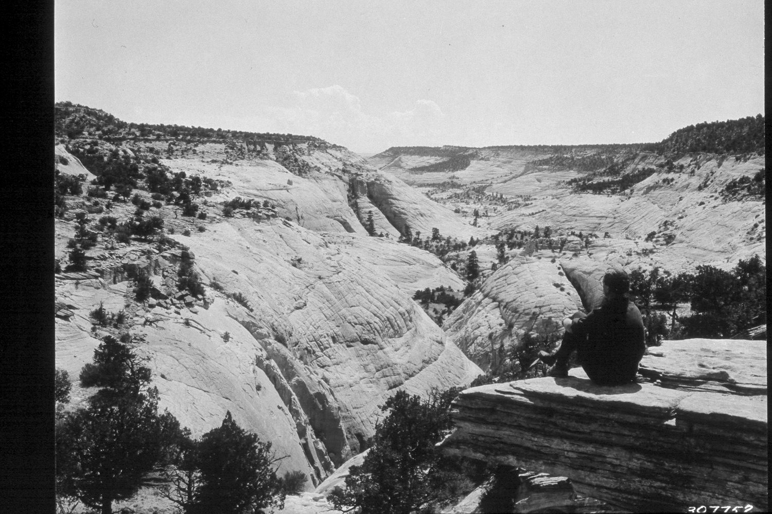
Dry Hollow
1935
2002
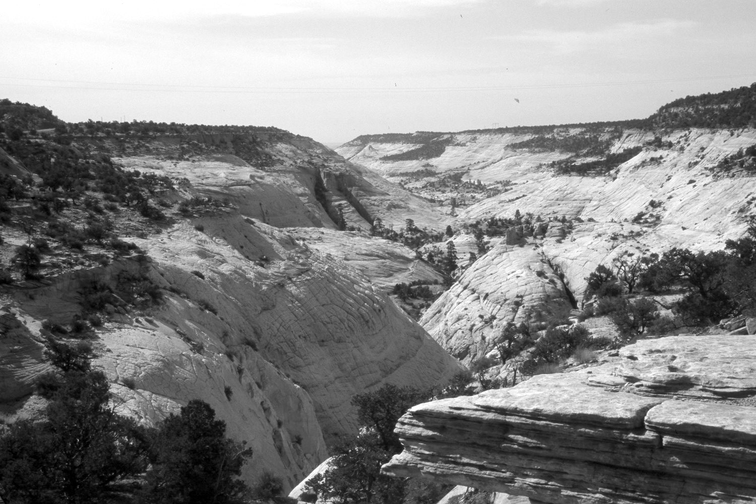
Description:
Plate 40X. Dry Hollow 1935-2002 Viewed southeast down Dry Hollow west of Boulder townsite. The photopoint is just below Utah Highway 12. There appears to have been a slight increase in pinyon-juniper in some parts of the photograph, but otherwise there has been little apparent change, except for two new powerlines that cross the canyon.
Photo Information:
U.S. Forest Service photograph 307752 taken by K.D. Swan in 1935; retake by Charles E. Kay on July 10, 2002 - - Photo No. 4968-13. Original photo held by Utah State Historical Society, Reed W. Bailey Collection, Salt Lake City, UT and U.S. Forest Service Regional Photographic Collection (2310-Dixie-209) housed at Weber State University, Ogden, UT.
Vegetative Community:
Pinyon, Juniper
Location:
South West: Section 34, Range 4 East, Township 33 South; UTM 459900E, 4194000N; elevation 6,600 ft.