Donkey Reservoir
1969
2002
Description:
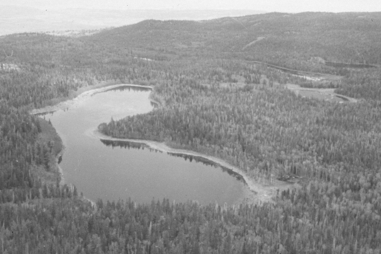
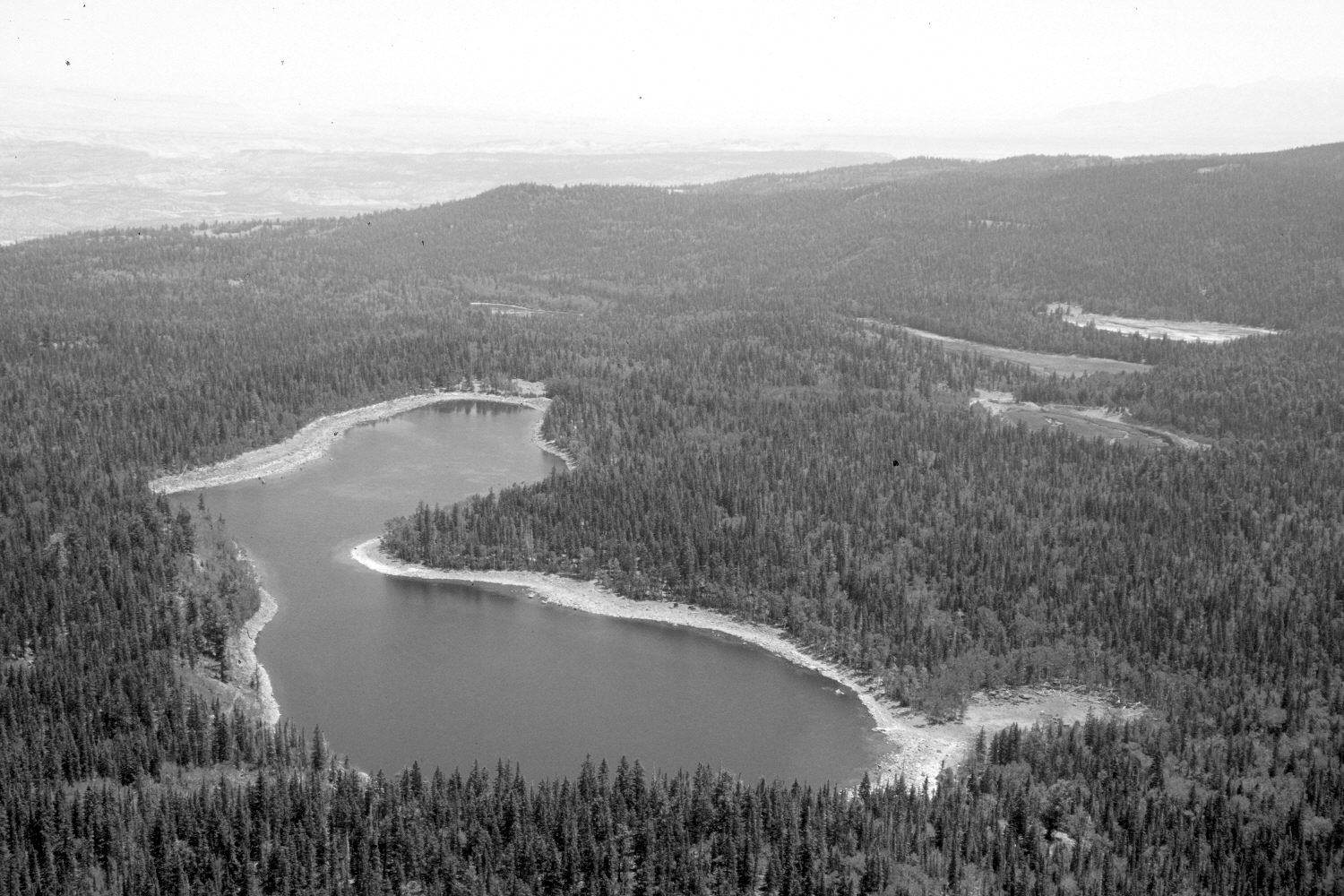
Plate 80X. Donkey Reservoir 1969-2002 Viewed east-southeast to Donkey Reservoir from Boulder Top. Also shown to the southeast of Donkey Lake are Middle Reservoir, Lower Reservoir, and Left Hand Reservoir - - all in the Donkey Creek drainage. Round Lake is also visible below Donkey Reservoir. Donkey Lake is still a functional reservoir, but the dams have been breeched on all the other lakes. Donkey Reservoir was at maximum draw-down in 2002 due to the extended drought and downstream water demands. Conifers, primarily spruce, are replacing aspen. All aspen stands have been heavily invaded by conifers.
Photo Information:
U.S. Forest Service photograph (unnumbered) taken by G. Richardson in July 1969; retake by Charles E. Kay on July 13, 2002 - - Photo No. 4985-22. Original photograph held by U.S. Forest Service Regional Office Photographic Collection (2360-1-Dixie-A1843) housed at Weber State University, Ogden, UT.
Vegetative Community:
Riparian, Conifer, Aspen
Location:
South West: Section 17, Range 4 East, Township 30 South; UTM 456200E, 4228200N; elevation 10,800 ft.