Death Hollow
ca. 1964
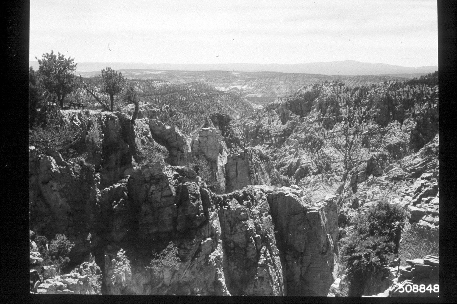
2002
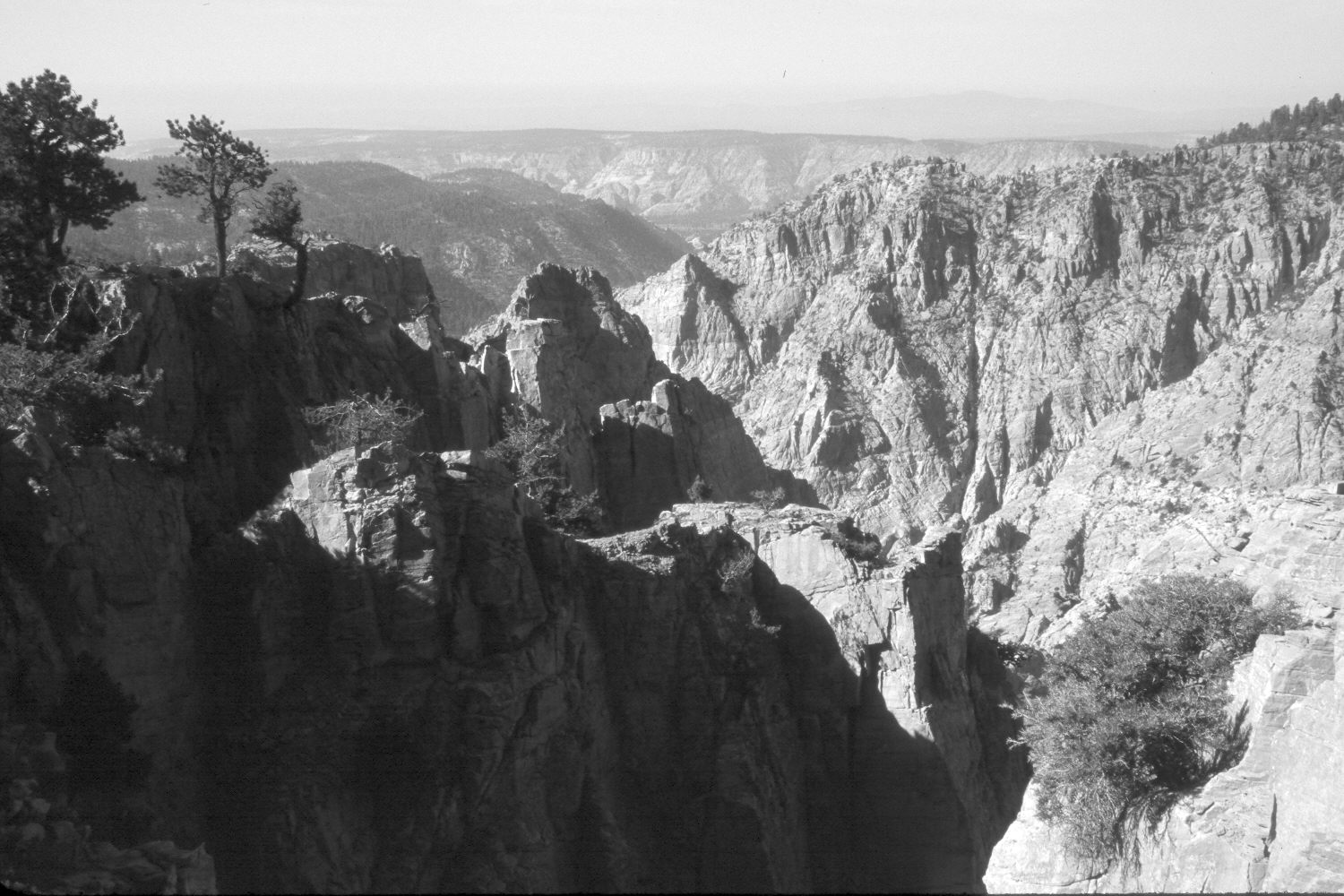
Description:
Plate 60X. Death Hollow ca. 1964-2002 Viewed southwest down Death Hollow from the bridge on Hell’s Backbone. There is little apparent change in this photoset.
Photo Information:
U.S. Forest Service photograph 508848 taken ca. 1964; retake by Charles E. Kay on July 11, 2002 - - Photo No. 4975-18. Original photograph held by Southern Utah University Archives and Special Collections, Cedar City, UT.
Vegetative Community:
Conifer
Location:
South West: Section 5, Range 3 East, Township 33 South; UTM 447500E, 4202500N; elevation 8,860 ft.
January 2018