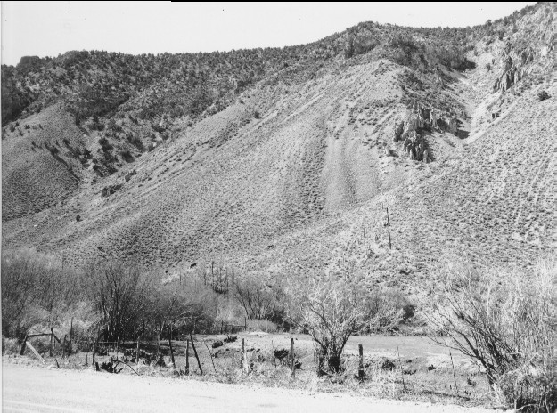
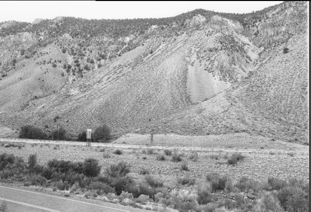
Clear Creek Canyon
1967
2000
Description:
Plate 248. CLEAR CREEK CANYON 1967-2000 Viewed southwest across Clear Creek. Interstate 70 construction has altered most of the foreground. Clear Creek has been channelized between Utah Highway 4 and I-70. There has been some increase in pinyon-juniper across the canyon, but otherwise not much has changed.
Photo Information:
U.S. Forest Service photo (unnumbered) by L. Glen Quigley in June 1967; retake by Charles E. Kay on August 4, 2000 - - Photo No. 4664-19A; Original photo (2200 I-174) held by Beaver Ranger District, Fishlake National Forest, Beaver, UT
Vegetative Community:
Pinyon, Juniper, Riparian
Location:
South Central: Section 36, Range 4 W, Township 25 S; UTM 387500 E, 4270700 N; elevation 5,700 ft.
January 2018