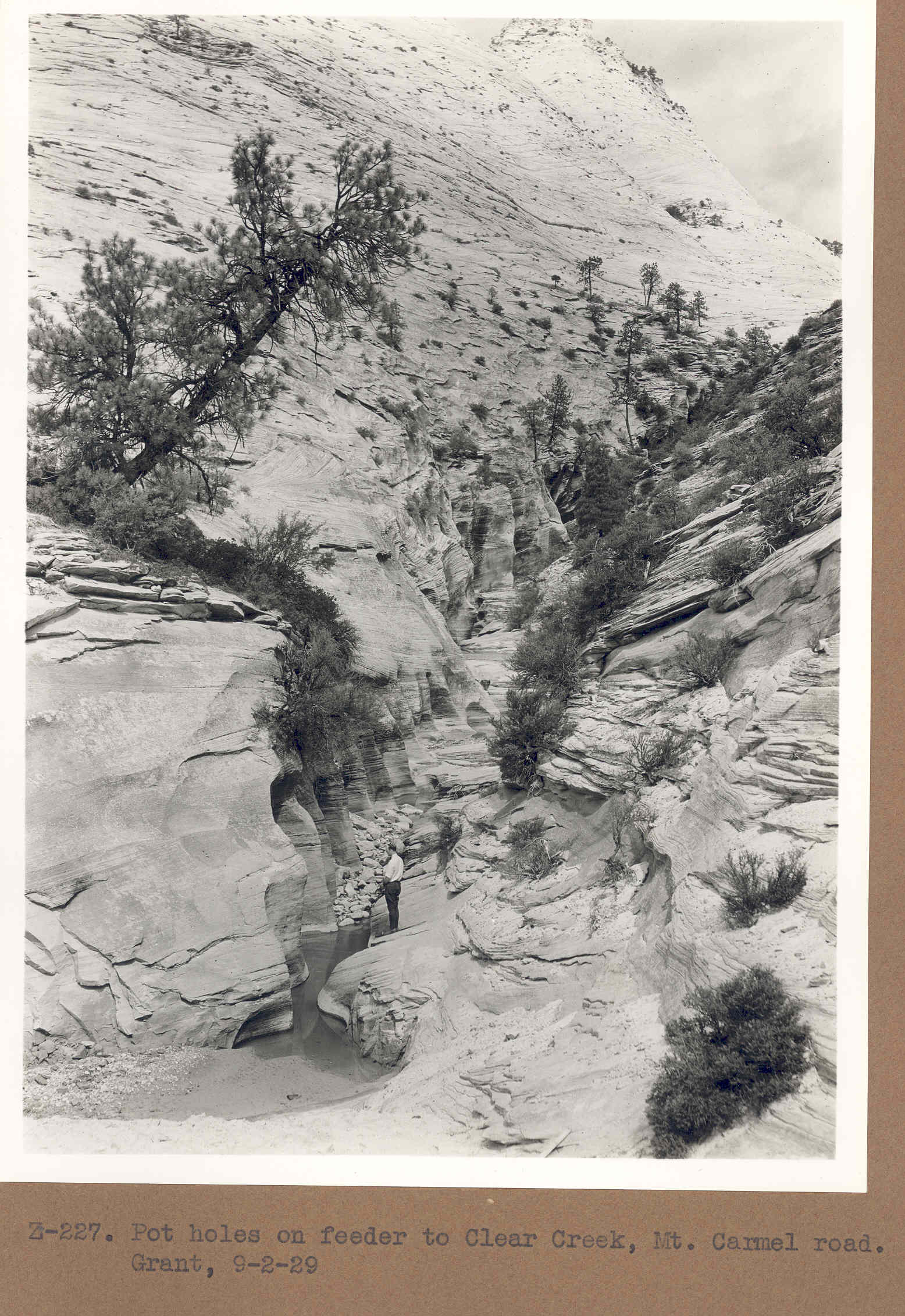
Clear Creek
1929
2006
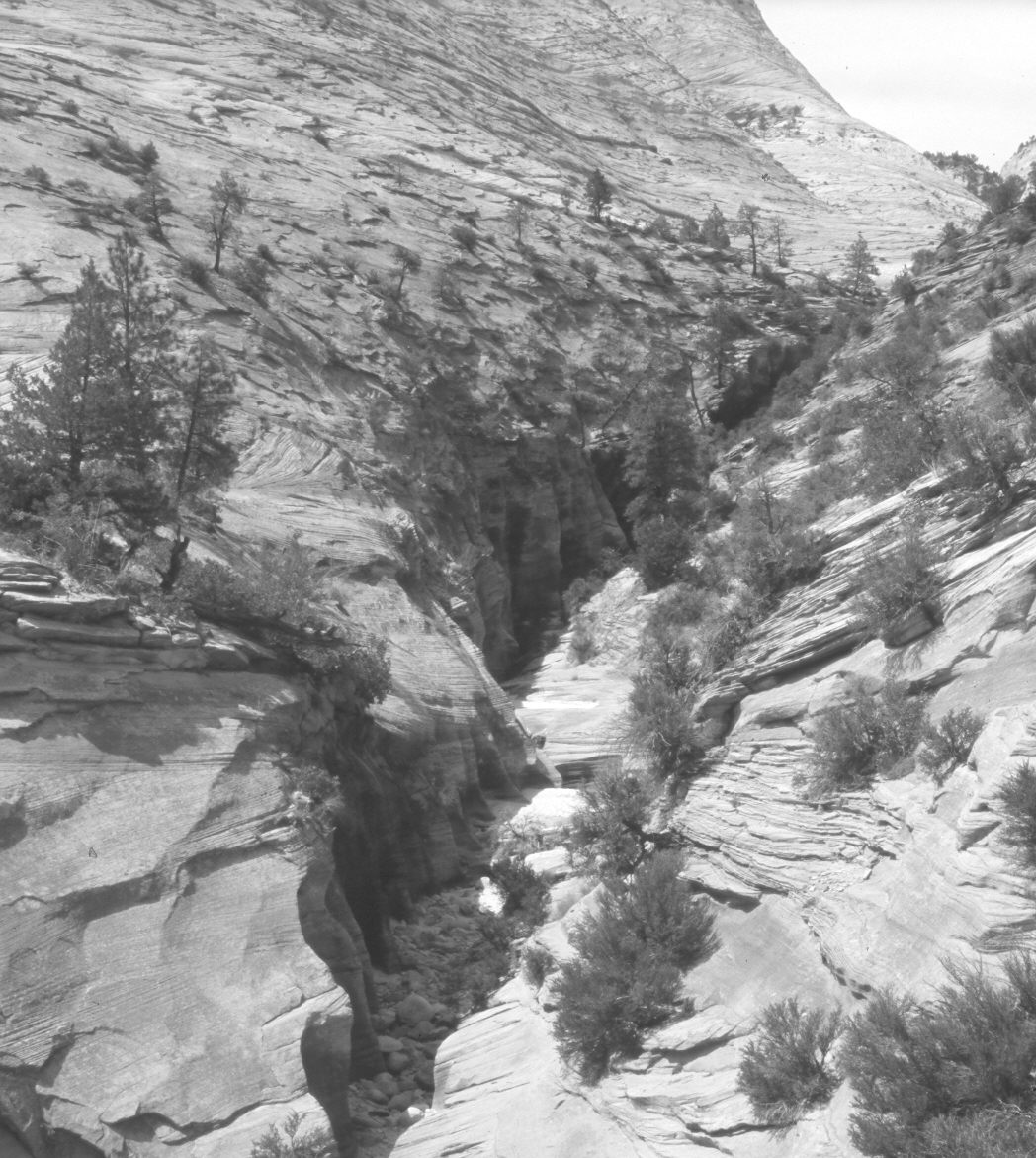
Description:
Plate 1179X. Clear Creek 1929 – 2006 Viewed north up a tributary of Clear Creek in Zion National Park. The photopoint is on the shoulder of Utah Highway 9 about a mile and a half west of the East Entrance. The large ponderosa pine on the left has died and fallen. Most of the shrubs are cliffrose. Vegetation change appears minimal.
Photo Information:
Original photograph taken by Grant (Z-227) on September 2, 1929; retake by Charles E. Kay on June 3, 2006 - - Photo No. 5628-21. Original photograph (Zion 12366) held by the National Park Service, Zion National Park, Springdale, UT.
Vegetative Community:
Conifer, Mountain Brush
Location:
South West: Section 18, Range 9½ West, Township 41 South; UTM 331250 E, 4121300 N; elevation 5,500 ft.
January 2018