Bryce Canyon Snow Course
1936
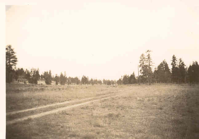
2006
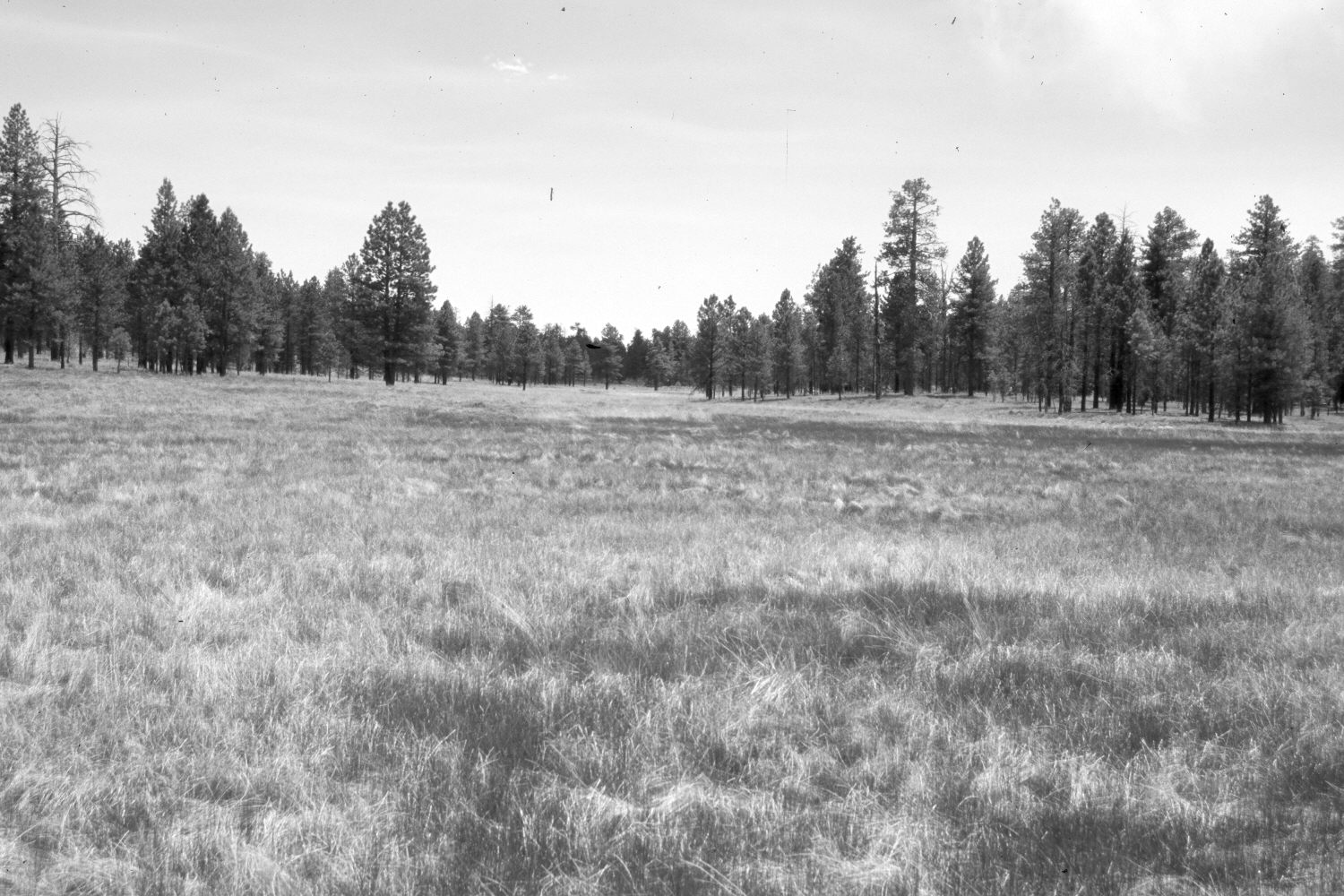
Description:
Plate 1282X. Bryce Canyon Snow Course 1936 – 2006 Viewed southeast along the snow course in Bryce Canyon National Park back to the course’s starting point - - see Plate 1277x. Ponderosa pine has increased despite recent prescribed burns by the Park Service. The park road has been realigned, widened, and paved. The area in the foreground is now a wiregrass meadow. The camera station is on the shoulder of the park road approximately 500 yards south of the new visitor center.
Photo Information:
Original photograph (NRCS-195) taken on September 9, 1936; retake by Charles E. Kay on June 24, 2006 - - Photo No. 5670-24. Original photograph held by the Snow Survey Supervisor, Natural Resources Conservation Service, Salt Lake City, UT.
Vegetative Community:
Conifer, Wet Meadow
Location:
South West: Section 36, Range 4 West, Township 36 South; UTM 396700 E, 4165900 N; elevation 7,850 ft.