Boulder, Utah
1935
2002
Description:
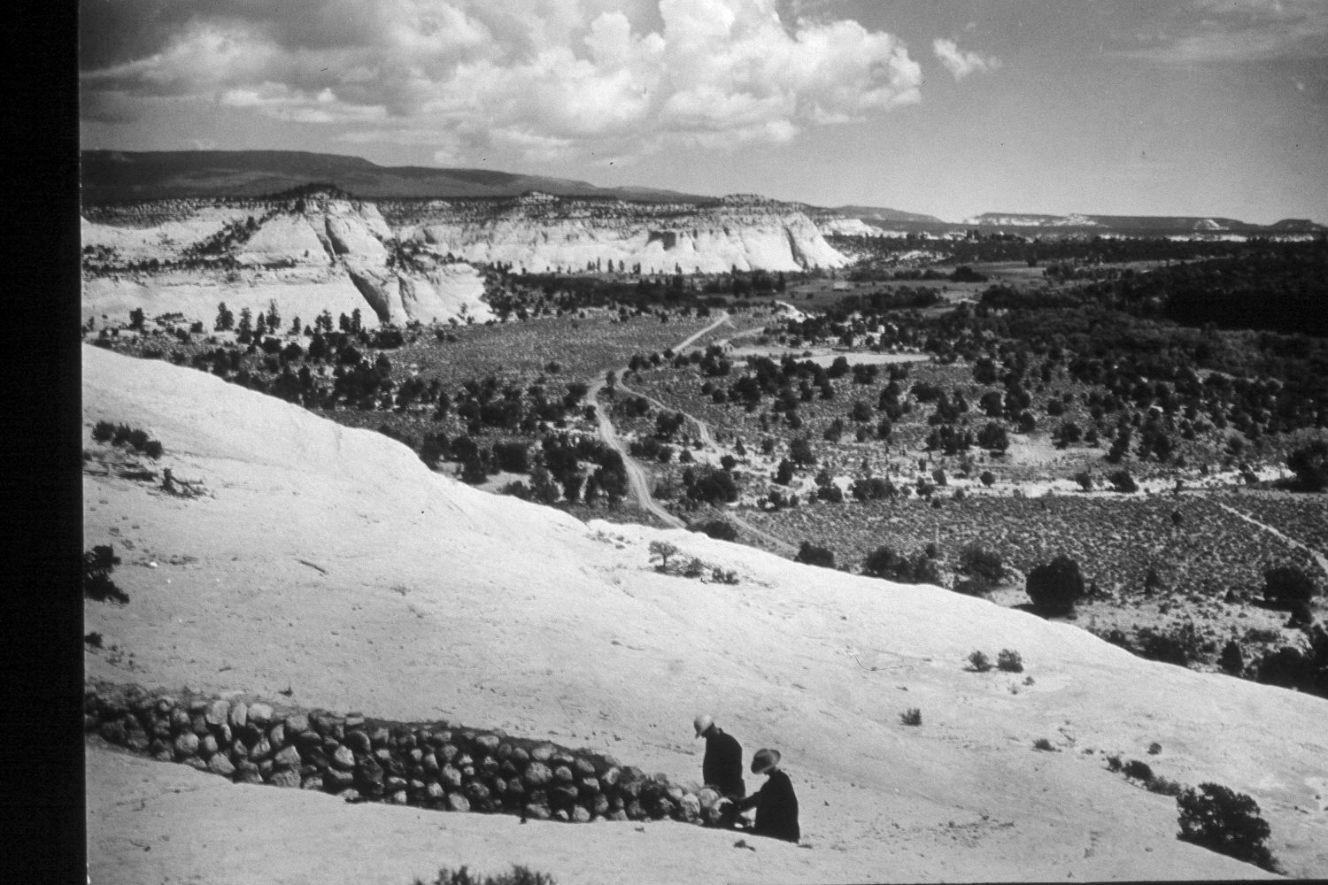
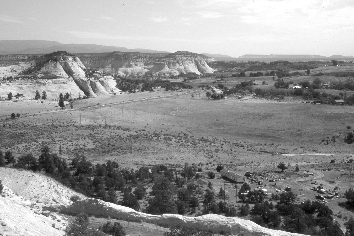
Plate 41X. Boulder, Utah 1935-2002 Viewed northeast to the town of Boulder, Utah. The men in the original image were working on the Escalante to Boulder road, now Utah Highway 12. The highway has since been realigned, widened, and paved, which has destroyed the original photopoint. Pinyon and juniper have decreased, where fields have been cleared, but in undisturbed areas, pinyon-juniper appears to have increased.
Photo Information:
U.S. Forest Service photograph 307745 taken by K.D. Swan in 1935; retake by Charles E. Kay on July 10, 2002 - - Photo No. 4968-15. Original photo held by the Utah State Historical Society, Reed W. Bailey Collection, Salt Lake City, UT.
Vegetative Community:
Pinyon, Juniper
Location:
South West: Section 34, Range 4 East, Township 33 South; UTM 460750E, 4193400N; elevation 6,650 ft.