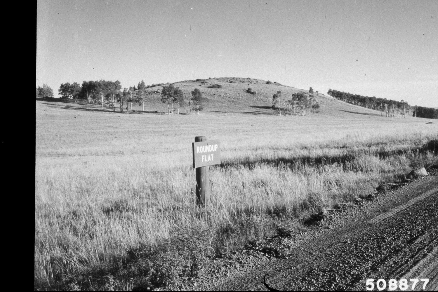
Boulder Mountain
1964
2002
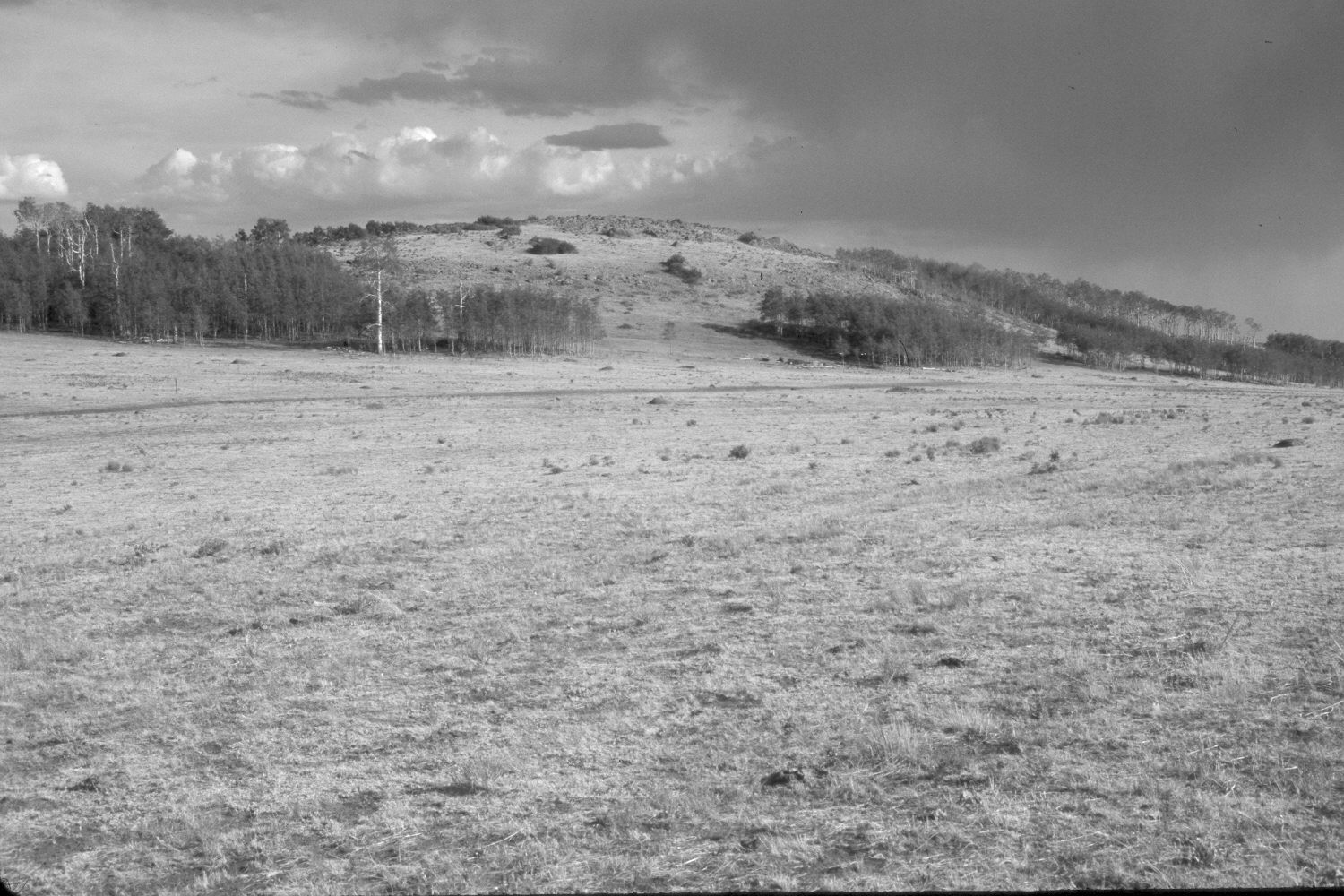
Description:
Plate 30X. Boulder Mountain 1964-2002 Viewed south from Utah Highway 12 on the southeastern flank of Boulder Mountain. The original photopoint was destroyed when the road was widened and paved, so the perspective is slightly different in the retake. Aspen successfully regenerated about 25 years ago when mule deer population collapsed (Kay and Bartos 2000). The area was heavily grazed by livestock in 2002. An ATV trail has been added near the base of the hill.
Photo Information:
U.S. Forest Service photograph 508877 taken by Prater in August 1964; retake by Charles E. Kay on July 8, 2002 - - Photo No. 4964-1. Original photograph held by Southern Utah University Archives and Special Collections, Cedar City, UT.
Vegetative Community:
Aspen
Location:
South West: Section 11, Range 5 East, Township 32 South; UTM 471150E, 4209700N; elevation 9,600 ft.