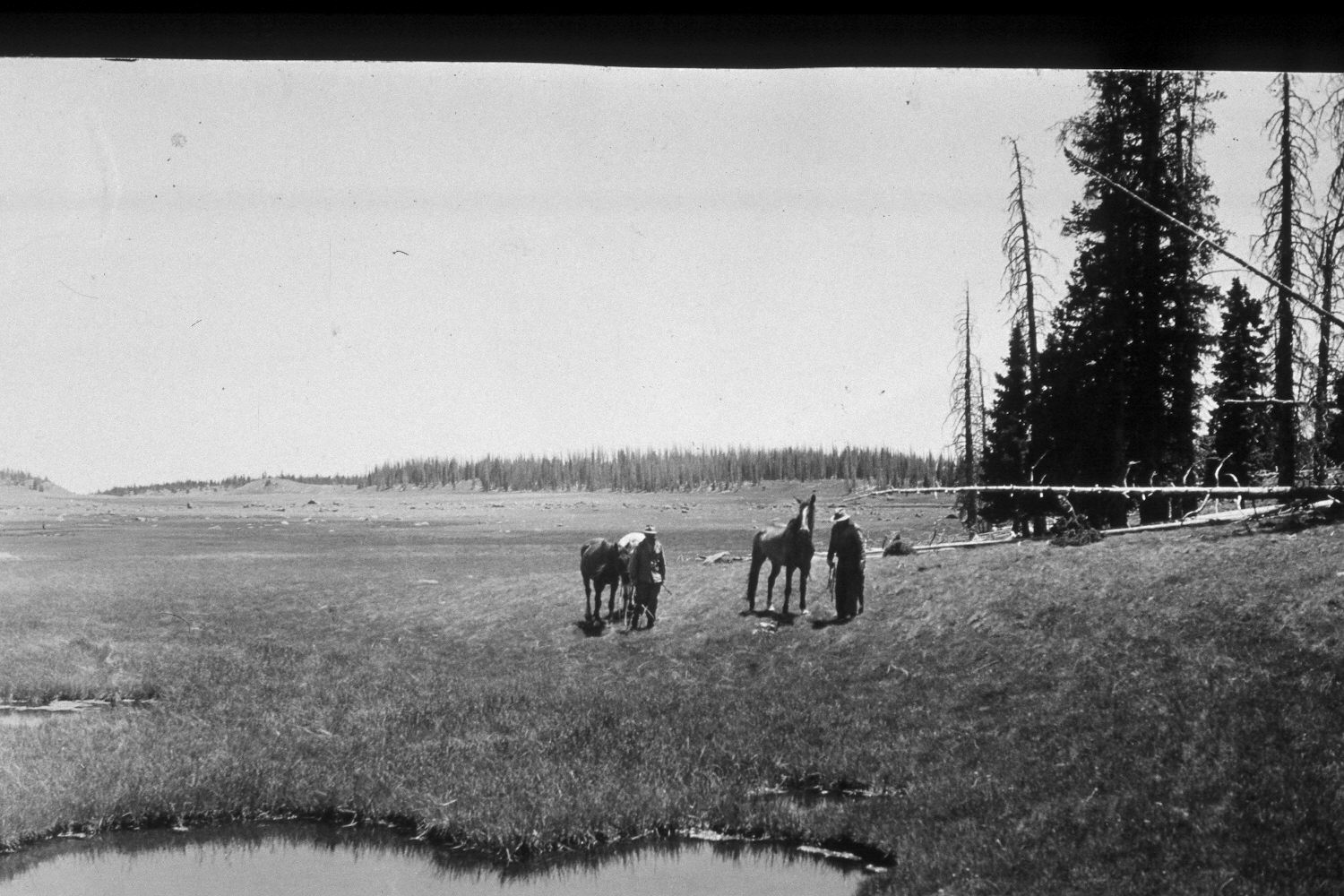
Boulder Meadows
1946
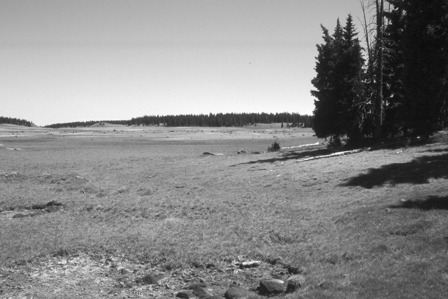
2002
Description:
Plate 78X. Boulder Meadows 1946-2002 Viewed southeast across Boulder Meadows on the Aquarius Plateau (a.k.a. Boulder Top). The two small ponds in the foreground of the original were dry in 2002 due to the extended drought. The area was heavily grazed by cattle in 2002. In the past, this was a domestic sheep allotment. Conifers, primarily spruce, have increased.
Photo Information:
U.S. Forest Service photograph (unnumbered) taken on June 27, 1946; retake by Charles E. Kay on July 12, 2002 - - Photo No. 4985-8. Original photograph held by Southern Utah University Archives and Special Collections, Cedar City, UT.
Vegetative Community:
Wet Meadow, Conifer
Location:
South West: Section 17, Range 4 East, Township 31 South; UTM 457250E, 4217300N; elevation 11,020 ft.
January 2018