Boobe Hole Mountain
1925
2001

Description:
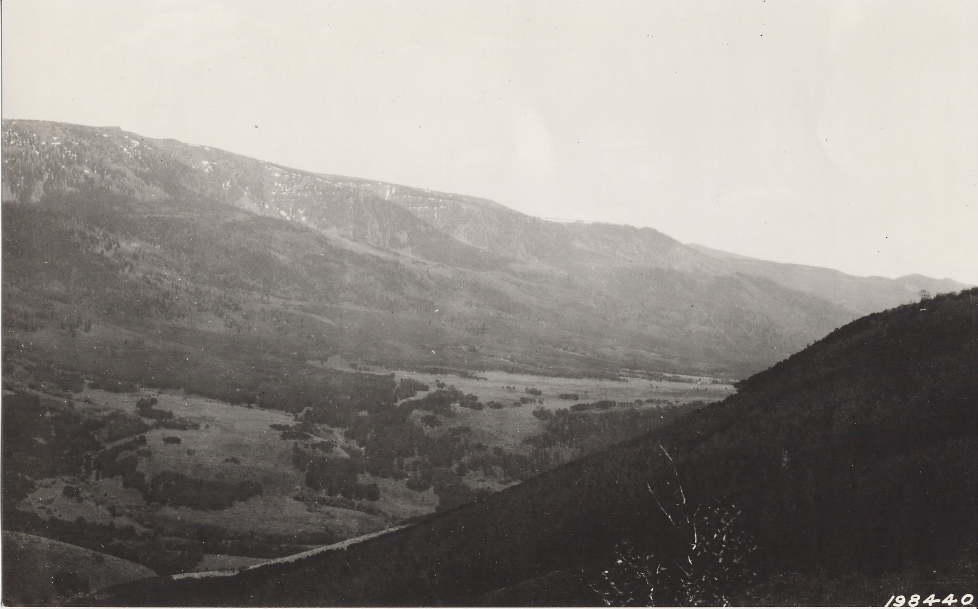
Plate 349. BOOBE HOLE MOUNTAIN FISHLAKE PLATEAU 1925-2001 Plates 348 and 349 form a panorama from Boobe Hole Mountain on the Fishlake Plateau. Plate 349 is viewed southeast across Otter and Daniels Creeks to Fishlake Hightop (11,545 ft). Aspen has increased in height and some clones have also increased in size. Conifers have increased especially on the slopes below Hightop. Aspen on those slopes has been invaded by conifers, but aspen stands in other parts of the photograph have few, if any, invading conifers. Most aspen stands, however, have not regenerated in many years due to excessive herbivory by cattle, elk, and deer. Aspen has also increased in height near the photopoint. Willows appear unchanged.
Photo Information:
U.S. Forest Service photo 198440 taken on June 27, 1925; retake by Charles E. Kay on August 28, 2001 - - Photo No. 4885-30; Original photo held by the Utah State Historical Society, Reed W. Bailey Collection, Salt Lake City, UT.
Vegetative Community:
Aspen, Conifer, Riparian
Location:
South Central: Section 12, Range 1 E, Township 24 S; UTM 433800 E, 4278700 N; elevation 9,360 ft.