Blubber Creek
1905
2003
Description:
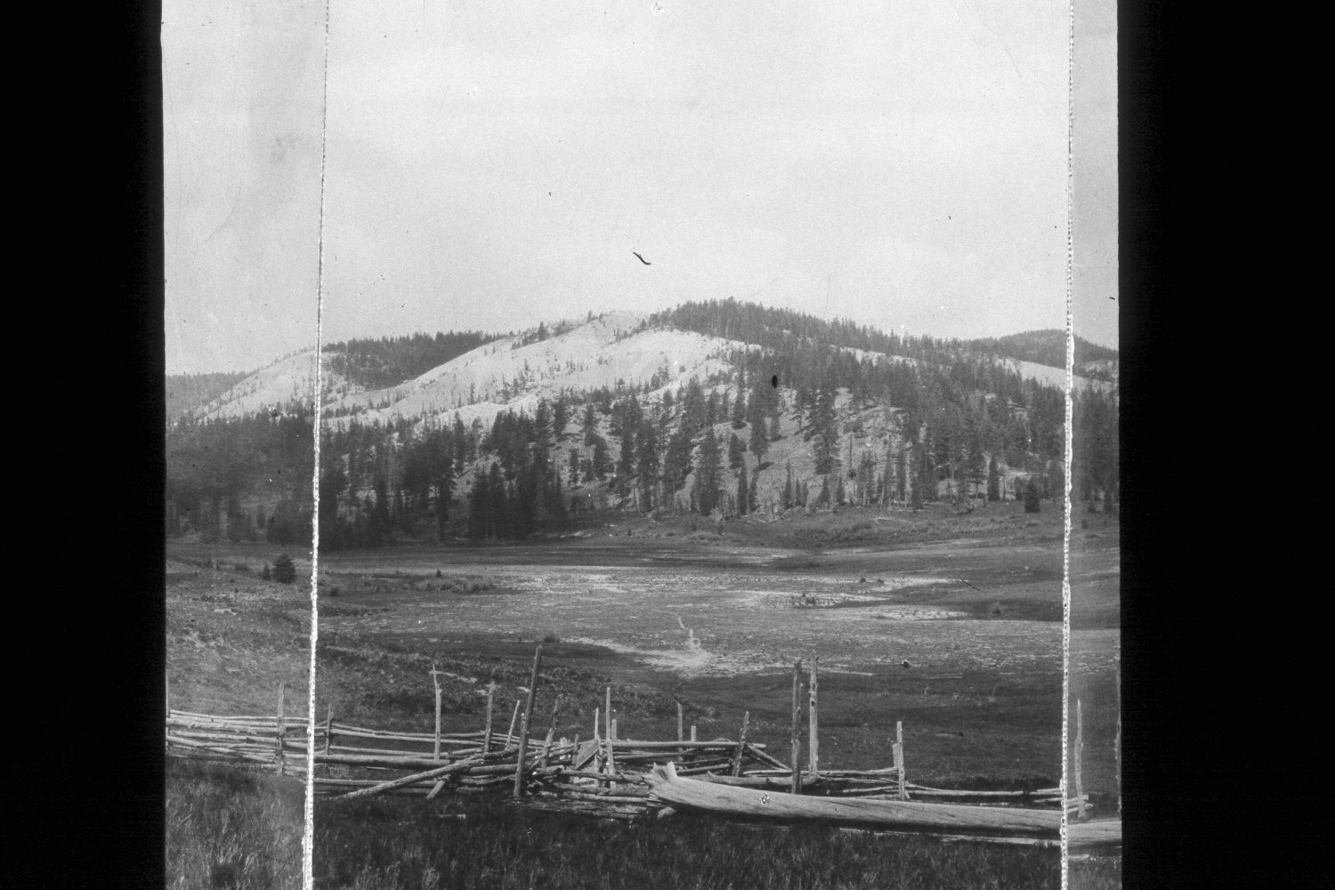
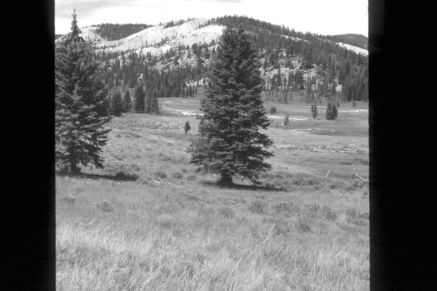
Plate 272X. Blubber Creek ca. 1905 - 2003 Plates 271x to 276x form a panorama at the confluence of the Left and Right Forks of Blubber Creek on the Paunsaugunt Plateau. Plate 272x is viewed west-northwest up the Left Fork of Blubber Creek. The foreground has been mini contour-trenched and reseeded with smooth brome, intermediate wheatgrass, and Kentucky bluegrass. This has destroyed the old, wooden sheep corral and log cabins. In addition, many of the larger trees have been logged. Nevertheless, spruce, ponderosa pine, and juniper have all increased. The larger meadow is subirrigated and Blubber Creek appears more heavily vegetated today than it did in earlier times. Some areas in the valley are sparsely vegetated due to saline soils and a high watertable. The shrubs in the foreground are mostly rubber rabbitbrush, with mountain big sage on the drier hillsides and shrubby cinquefoil in the wetter areas. Bitterbrush is found on the more distant hillsides.
Photo Information:
U.S. Forest Service photograph (00056A) taken ca. 1905; retake by Charles E. Kay on August 6, 2003 - - Photo No. 5222-4. Original photograph held by Southern Utah University Archives and Special Collections, Cedar City, UT.
Vegetative Community:
Dry Meadow, Conifer, Juniper, Wet Meadow, Riparian, Sagebrush
Location:
South West: Section 35, Range 4½ West, Township 37 South; UTM 385700E, 4155900 N; elevation 8,020 ft.