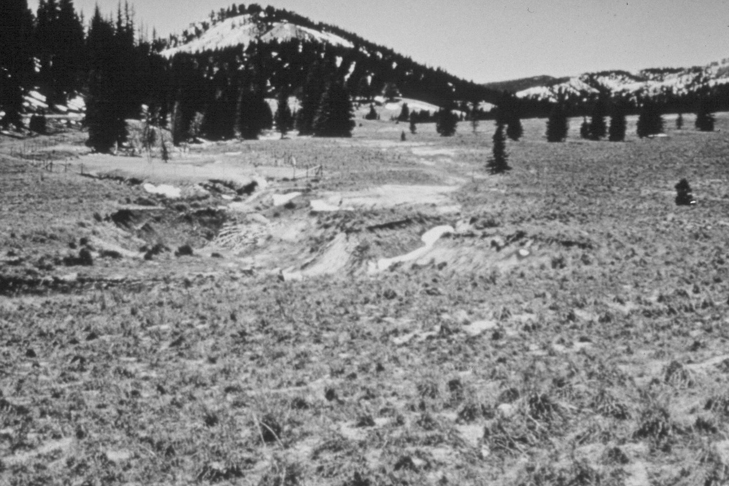
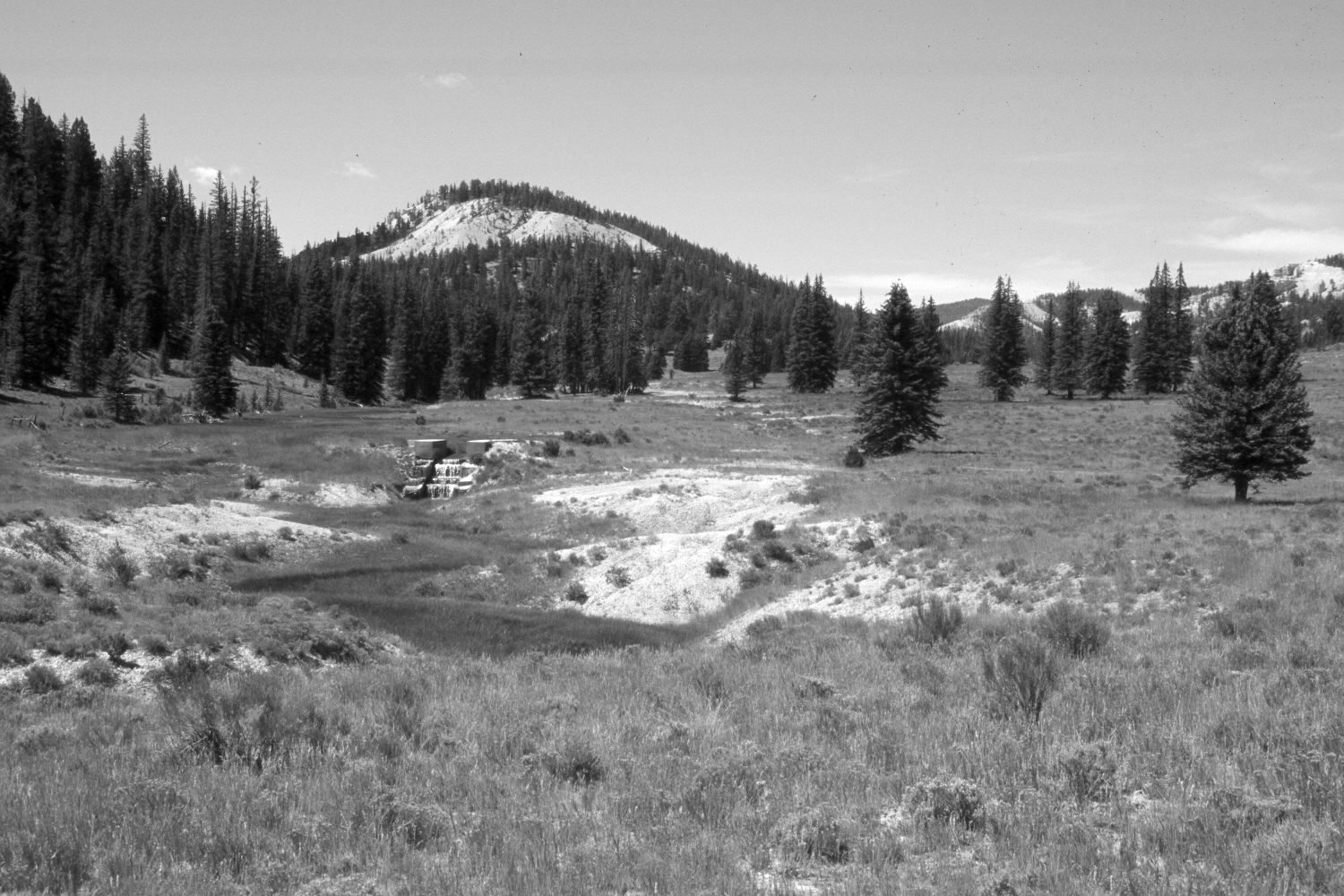
Blubber Creek
1965
2003
Description:
Plate 270X. Blubber Creek 1965 - 2003 Viewed southwest up Blubber Creek on the Paunsaugunt Plateau. The area was very heavily grazed in 1965 - - note the exclosure that had been established to slow erosion on Blubber Creek. Since the initial image, the Forest Service has built a concrete let-down structure that has eliminated headwall cutting. The immediate area was also reseeded with smooth brome, crested wheatgrass, and intermediate wheatgrass. The exclosure has been removed. Conifers, primarily spruce, have increased. The low-growing shrubs are mostly rubber rabbitbrush and mountain big sage. A few bitterbrush plants are also present. The area had not been grazed by cattle in 2003 when this site was revisited. Additional retakes were made by the Forest Service in 1983 and 2000.
Photo Information:
U.S. Forest Service photographs (unnumbered) taken in 1965; retake by Charles E. Kay on August 6, 2003 - - Photo No. 5218-28A. Original photograph held in the range files on the Panguitch Ranger District, Dixie National Forest, Panguitch, UT.
Vegetative Community:
Dry Meadow, Conifer
Location:
South West: Section 36, Range 4½ West, Township 37 South; UTM 386350E, 4156500 N; elevation 7,980 ft.