Blowhard Flat
1957
2005
Description:
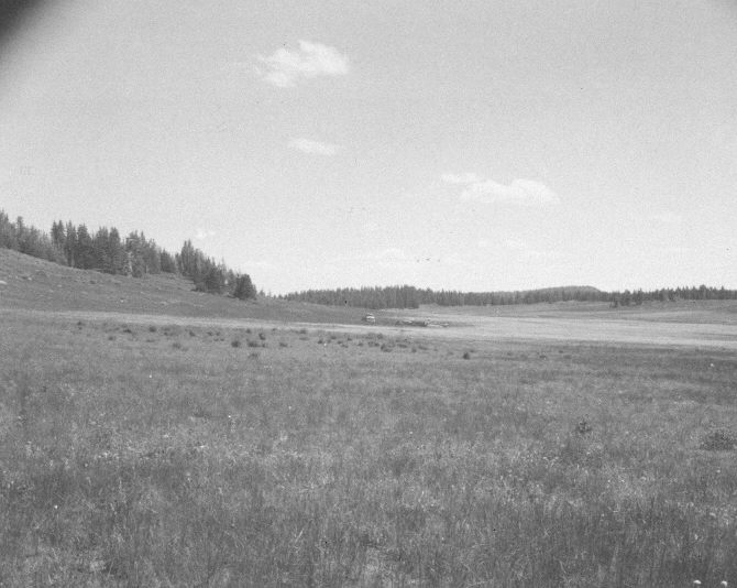
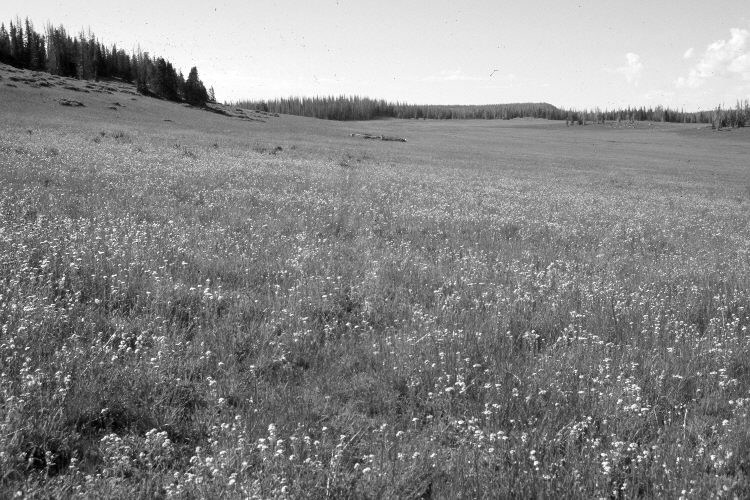
Plate 1095X. Blowhard Flat 1957 – 2005 Viewed south from the end of the Parker Three-Step Transect on Blowhard Flat - - see Plates 1092x to 1094X. In the distance is the log grazing exclosure on Blowhard Flat - - see Plate 1090X. The area has not been treated and is mostly Stipa spp., other native grasses, and forbs - - including alpine timothy, yarrow, tall larkspur, aster, and Senecio spp. The shrubs below the spruce on the left hillside are currants. The area is grazed yearly by domestic sheep, but had not yet been grazed when the 2005 retake was made. This site is just south of Cedar Breaks National Monument. Many spruce on the distant ridges were recently killed by insects and disease.
Photo Information:
U.S. Forest Service photograph (unnumbered) taken on July 17, 1952 and July 31, 1957; retake by Charles E. Kay on September 1, 2005 - - Photo No. 5539-30. Original photographs, negatives, and narrative reports held in the range files on the Cedar City Ranger District, Dixie National Forest, Cedar City, UT.
Vegetative Community:
Dry Meadow, Conifer
Location:
South West: Section 14, Range 9 West, Township 37 South; UTM of the transect starting point 337100 E, 4163000 N; elevation 10,280 ft.