Blind Lake Aspen Exclosure
1958
2003
Description:
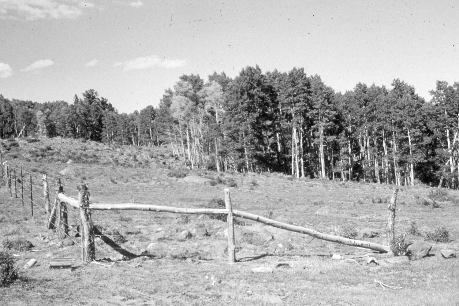
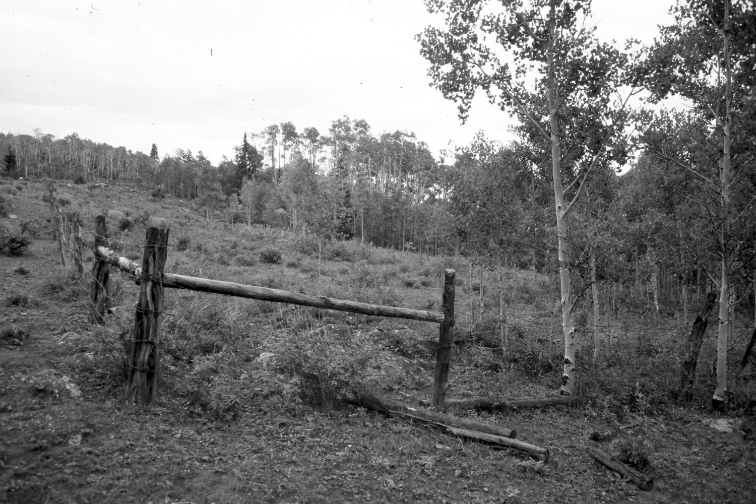
Plate 354X. Blind Lake Aspen Exclosure 1958 - 2003 Viewed north over the southwest corner of the Blind Lake aspen exclosure on Boulder Mountain’s north slope shortly after the site was fenced in 1958. This is a cattle allotment and the fenced area excludes only livestock, not deer or elk. Aspen successfully regenerated inside the protected area and continued to do so through the 1970s. Aspen outside the exclosure, though, successfully regenerated only during the early 1970s when mule deer numbers were low (Kay and Bartos 2000). As elk and mule deer populations have increased, however, those animals have highlined the new aspen saplings and repeatedly browsed all the aspen suckers even inside the exclosure, preventing further aspen regeneration. Snowberry and tall, palatable forbs have increased on the protected area, while low-growth, unpalatable forbs are more common on outside plots. Bare soil was also more common on outside areas (Kay and Bartos 2000). In addition, the aspen stands inside the exclosure have expanded in size and replaced other vetetation communities. Unfortunately, the fence was in a state of disrepair in 2003, and cattle had grazed-off most of the palatable grasses and forbs inside the exclosure. Outside areas were also heavily grazed by cattle in 2003.
Photo Information:
U.S. Forest Service photographs (unnumbered) taken on July 16, 1958; retake by Charles E. Kay on August 27, 2003 - - Photo No. 5259-26. Original photograph held on the Teasdale Ranger District (Slide 2200-37), Dixie National Forest, Teasdale, UT.
Vegetative Community:
Aspen, Mountain Brush
Location:
South West: Section 24, Range 4 East, Township 30 South; UTM 462700 E, 4226650 N; elevation 9,790 ft.