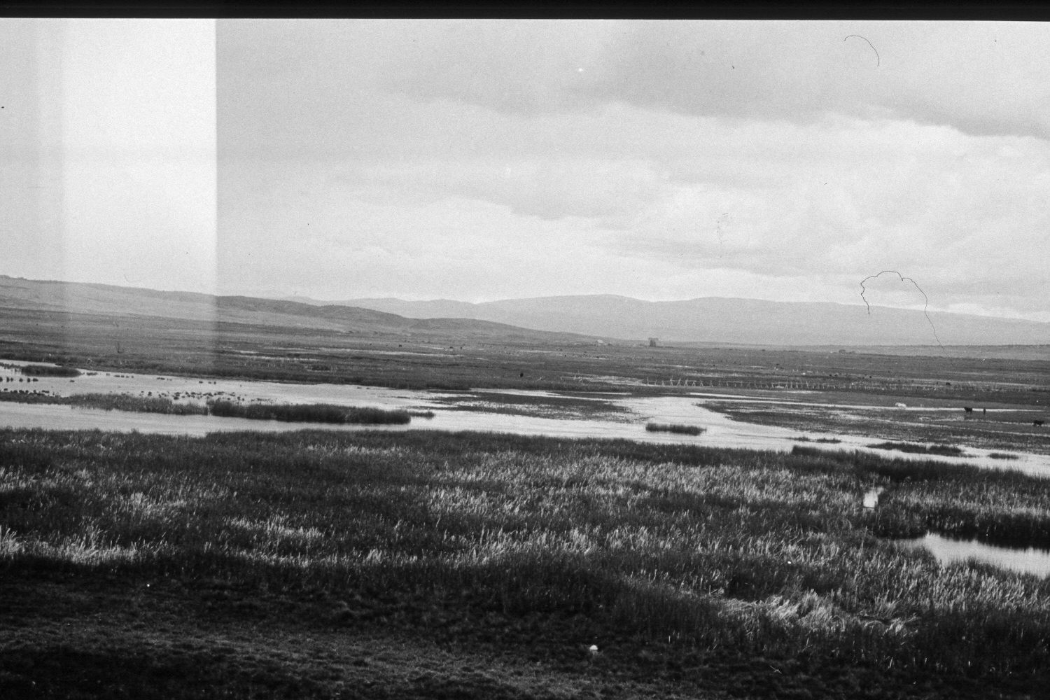
Bicknell Bottoms
1932
2002
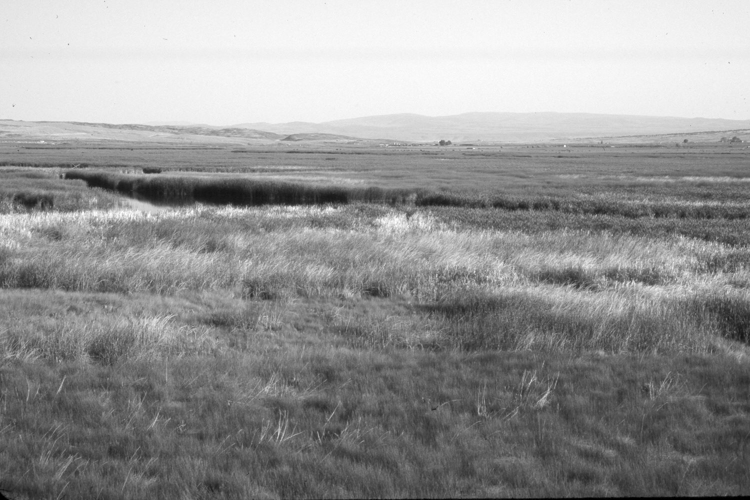
Description:
Plate 83X. Bicknell Bottems 1932-2002 Viewed northwest across Bicknell Bottems south of Bicknell, Utah. Shown is Pine Creek. This area is now part of the K.E. Bullock Waterfowl Management Area owned by the Utah Division of Wildlife Resources, and as such, has not been grazed by livestock in many years. Beyond Pine Creek is the Fremont River and private property. Fishlake Hightop is seen in the distance. Less water was visible in 2002, which is likely due to the growth of emergent vegetation, such as cattails (Typha latifolia) and bull rushes (Scirpus spp.), as well as the extended drought that has gripped southern Utah for several years.
Photo Information:
U.S. Forest Service photograph 270675 taken by Reed W. Bailey in 1932; retake by Charles E. Kay on July 14, 2002 - - Photo No. 4988-6. Original photograph held by the Utah Historical Society, Reed W. Bailey Collection, Salt Lake City, UT.
Vegetative Community:
Riparian, Wet Meadow
Location:
South West: Section 17, Range 3 East, Township 29 South; UTM 452800E, 4238900N; elevation 6,920 ft.