Rich County Consolidation Project
This project is being organized and funded by the Grazing Lands improvement project (GIP).
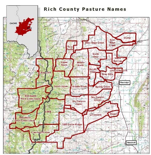 A project in Rich County, Utah, is transforming traditional methods of public land management agencies and the individuals who graze livestock on ten grazing allotments. Five of the allotments are manged by the BLM (Big Creek, New Canyon, Sage Creek, Stuart, and Twin Peaks) and three by the Forest Service (North Randolph, South Randolph and Rock Creek/Red Wells). A variety of range and habitat improvements are also planned. These include better water distribution, additional fencing, prescribed burns, and brush management.
The change offering the greatest benefit is changing the time and timing of livestock grazing. Rather
than season long grazing in some of the allotments, livestock would be combined into two herds. Each herd would be concentrated to graze smaller areas for shorter duration and then moved. Grazed pastures would then have opportunity to re-grow. Pastures would be completely rested from grazing for at least a year on a rotational basis.
These changes will lead to improved wildlife habitat, improved water quality, improved plant diversity and improved livestock management.
Management is patterned after the Deseret Land and Livestock’s successful method of timed rotational grazing. Consolidating the allotments into a single resource management unit means management can be implemented on a watershed scale and grazing livestock will become important tool to manage upland ranges.
Changes in grazing management will be a critical step in long-term sustainability on both public and private ground. The project involves 28 grazing permittees, the BLM and FS as well as State Trust Lands. It is imperative to have collaborative working relationships amongst agencies and private producers.