Causey Estates Community Defends Against Wildfire Threats
Sheltered fuelbreak under construction at Causey Estates.
Utah Forestry, Fire and State Lands (FFSL), with cooperation from property owners and board members of the Causey Estates Homeowners Association, conducted a series of wildfire preparedness and mitigation efforts prior to Utah’s busiest wildfire season on record.
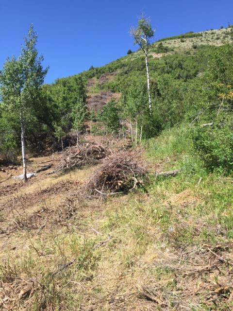
Initiated in 2013, the fuel reduction project is intended to reduce the potential for wildfire to reach the Causey Estates community by establishing sheltered fuel breaks along its northern and eastern boundary. Hazardous fuels reduction efforts were completed as part of a multi-year effort. Primary concerns are the dense gambel oak canopy and steep slopes which could enable wildfire to race into the community from National Forest and private lands to the north. Providing safe travel corridors for residents and emergency responders, along with having a community “safety zone,” were also prioritized in the Causey Estates Community Wildfire Preparation Plan (CWPP.)
The steep terrain and dense gambel’s oak vegetation presented a difficult challenge and called for an innovative approach to the fuel reduction effort. Chainsaw crews from FFSL’s Lone Peak Conservation Center conducted the initial perimeter thinning in the treatment areas to reduce stem density and create a mosaic vegetation pattern in the continuous oak canopy. This was followed by contracted sheep grazing to reduce the remaining understory and ladder fuels.
“Using sheep or goats to reduce ladder fuels requires multiple treatment years in order to ‘prune up’ regrowth on lower branches,” said Jennifer Hansen, FFSL’s Wildfire Risk Reduction Coordinator. Sheep were brought in to graze understory fuels for two weeks each spring for three consecutive years.
Fuel reduction treatments initially involved vegetation thinning along Skull Crack Road (the main access road), internal community roads, and a narrow strip along the National Forest /private land boundary. A 20 acre “safety zone” at the community crossroads was more heavily treated, creating an area for residents to gather for evacuation or to shelter in place. Subsequent phases of work expanded, with the addition of two 15 acre sheltered fuel breaks which offered more strategic advantages.
“Ridgeline fuel breaks like those are what aerial tanker pilots like to see,” said Bryan Thompson, USFS Forest Fire Fuels Technician. “They provide a target for slurry drops and allow the retardant to reach the ground, slowing advancing wildfire and giving ground-based firefighters more time to respond.”
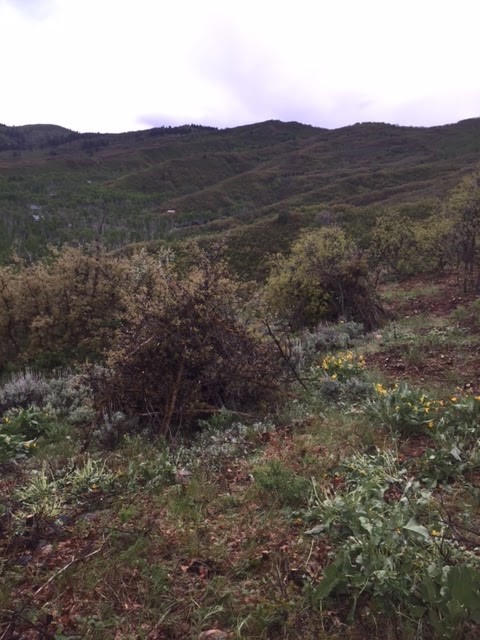
The Causey Estates Fuel Reduction project is located in the upper Ogden River valley in Weber County, approximately two miles south of Causey Reservoir. The community is situated in the drainage basin of Skull Crack Creek above the south arm of Causey Reservoir. A U.S. Forest Service day use area at that location presents a potential wildfire ignition source.
“Under suitable conditions, a fire there could be funneled into Causey Estates. The additional fuel breaks established this spring are designed to slow and deflect advancing fire away from the community, and heavy thinning along internal roads also helps them function as fuel breaks” said project leader Ken Theis, Bear River Area Wildland Urban Interface Coordinator.
Other participants of the project included U.S. Forest Service fuels personnel, as well as the landowner of the adjoining Rocking R ranch. Funding for the project was secured through the Wildland Urban Interface grant program of the Council of Western State Foresters.
In addition to fuel reduction, The Causey area also served as the 2018 training site for the Northern Utah Wildland Engine Training Workshop conducted by the Bear River Area office of Forestry, Fire and State Lands. Over 60 firefighters from multiple agencies practiced responding to various wildland fire scenarios during the 2-day training.
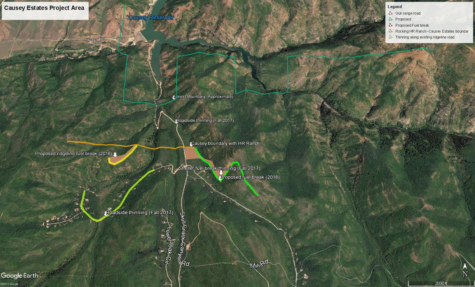
Map of work done at Causey Estates. Map courtesy Ken Theis, Utah Division of Forestry, Fire, & State Lands.