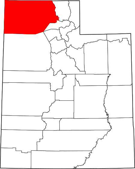
Box Elder County Web Map - View and compare information such as land ownership, boundaries, roads, zoing, survey and subdivision plots, section corners, environmental layers and more.
Contour Map Generator - Generate a contour map based on a chosen area of interest, additional topographical features can be added for a higher fee.
Series Extent Explorer - Quickly display and compare the approximate geographic distribution of up to five soil series.
EDDMapS - Web-based mapping system for documenting invasive species and pest distributions.