Wide Hollow
1918
2004
Description:
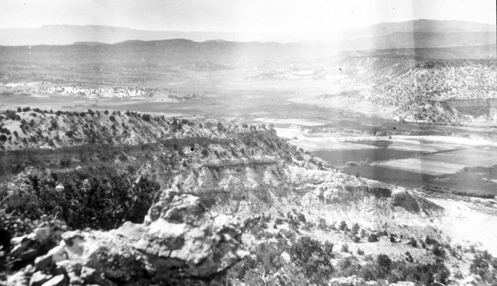
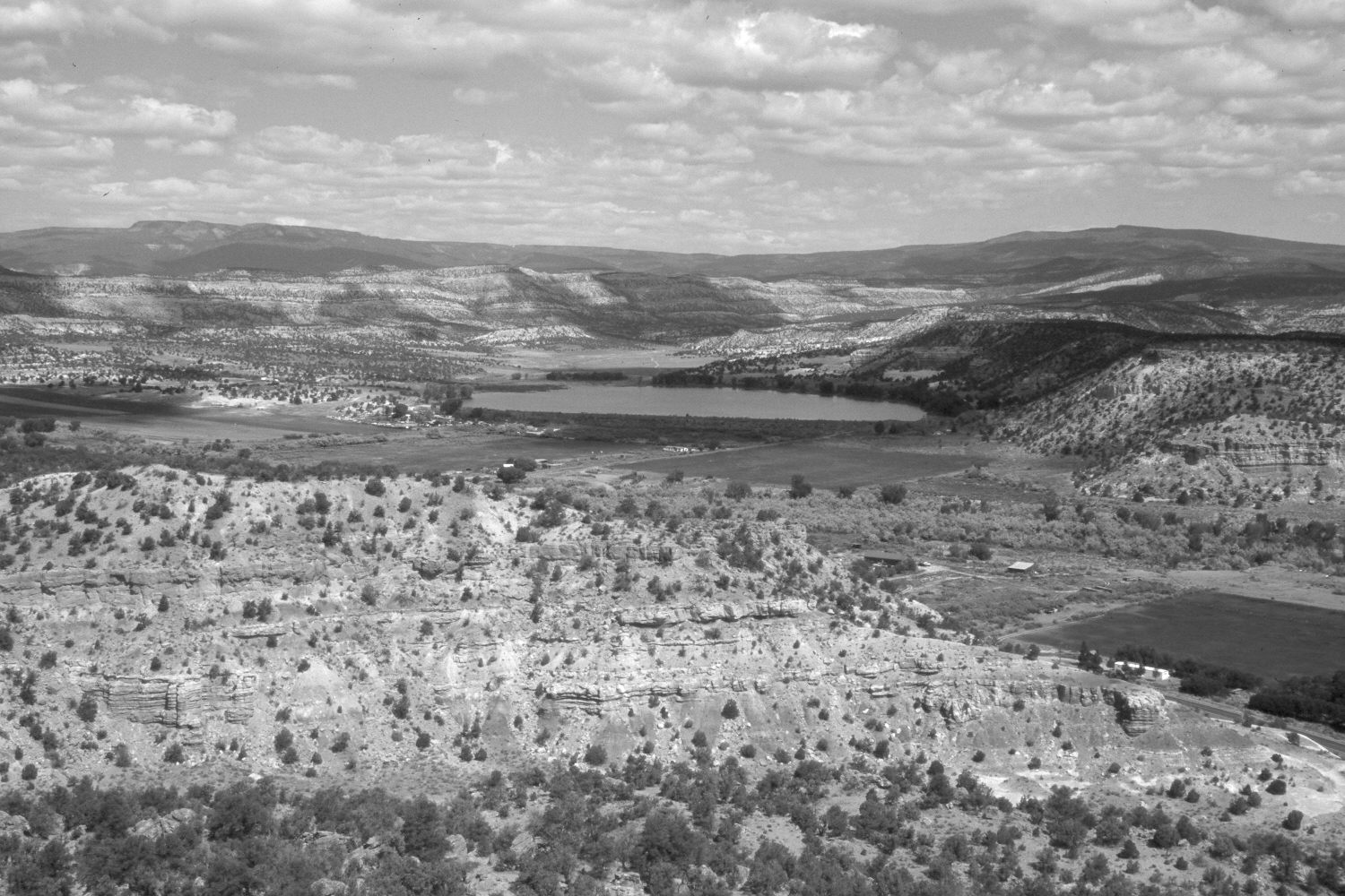
Plate 508X. Wide Hollow 1918 – 2004 Viewed northwest across the Escalante River and up Wide Hollow. A reservoir has been constructed at the mouth of Wide Hollow and that area is now part of Escalante Petrified Forest State Park. Pinyon and juniper have increased, as has woody riparian vegetation along the Escalante River. Utah Highway 12 at the base of the cliff (photo lower-right) has been widened and paved.
Photo Information:
Original photograph taken by H.E. Gregory (No. 369) in 1918; retake by Charles E. Kay on June 11, 2004 - - Photo No. 5344-14. Original photograph held by the U.S. Geological Survey Photographic Library, Denver, CO.
Vegetative Community:
Pinyon, Juniper, Riparian
Location:
South West: Section 7, Range 3 East, Township 35 South; UTM 445600 E, 4180700 N; elevation 6,260 ft.