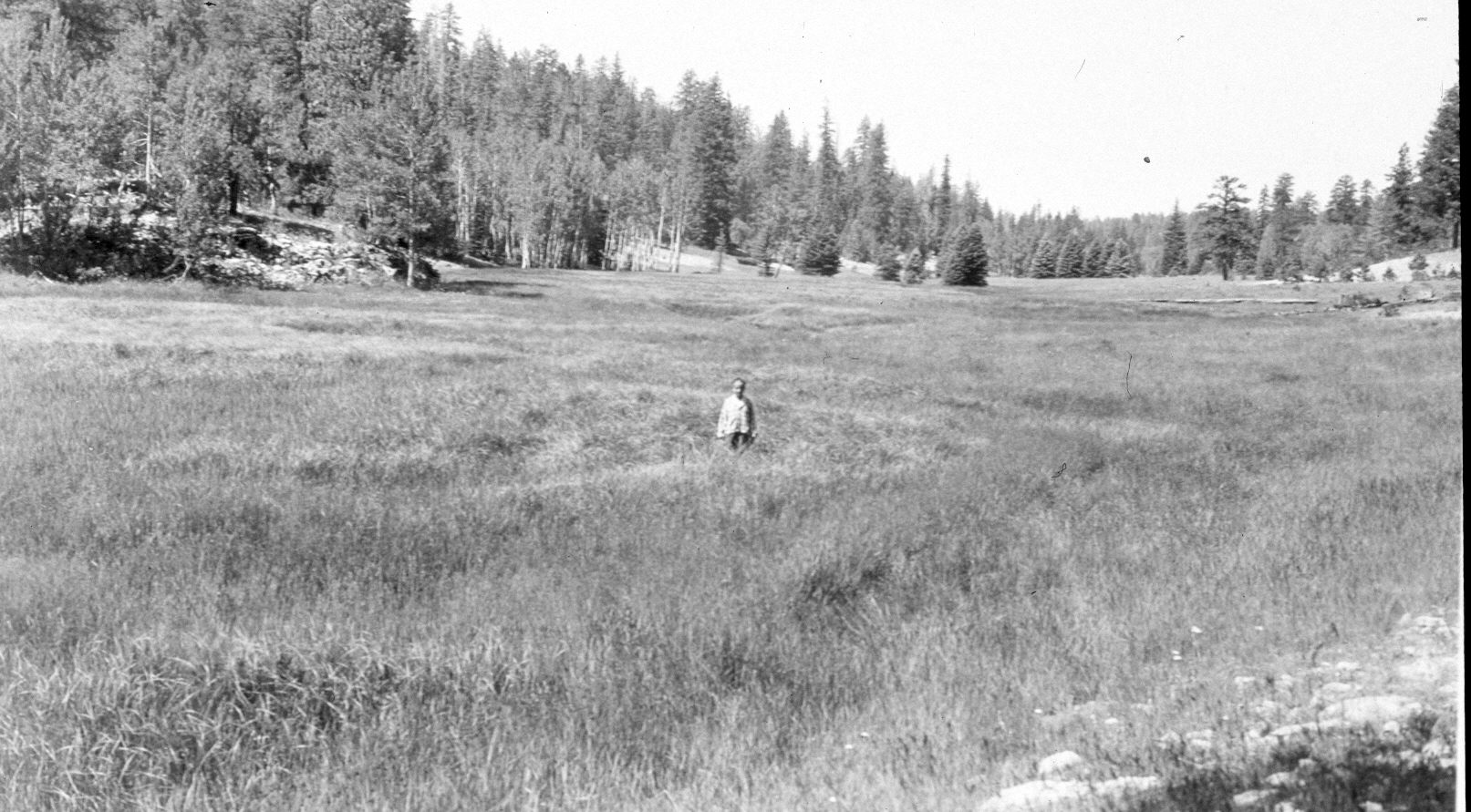
Upper Swains Creek
1949
2004
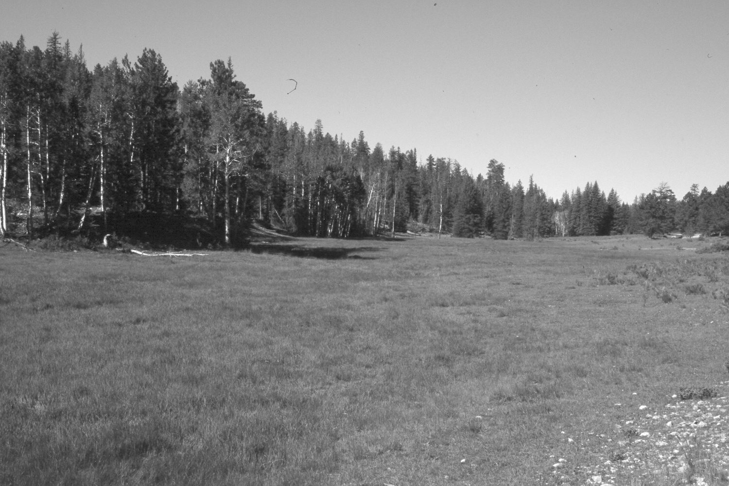
Description:
Plate 557X. Upper Swains Creek 1949 – 2004 Viewed southwest up Swains Creek about three-quarters of a mile above Adair Hollow. Sedges and rushes dominate the wet meadow, which has not been treated. Aspen has declined, while spruce, white fir, and ponderosa pine have increased. The area was heavily grazed by cattle in 2004. As the meadow has dried during the recent drought, rubber rabbitbrush has invaded - - photo right-center.
Photo Information:
U.S. Forest Service photograph taken by Wilford Bentley on July 15, 1949; retake by Charles E. Kay on August 7, 2004 - - Photo No. 5367-24. Original photograph held by Southern Utah University Archives and Special Collections, Cedar City, UT.
Vegetative Community:
Wet Meadow, Aspen, Conifer
Location:
South West: Section 7, Range 7 West, Township 39 South; UTM 351800 E, 4143980 N; elevation 8,000 ft.