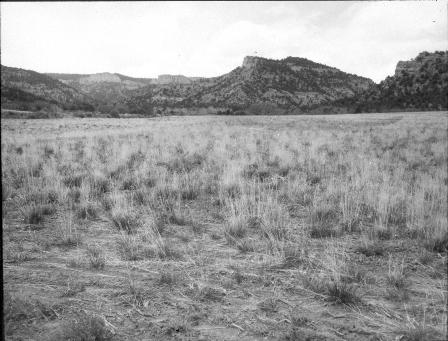
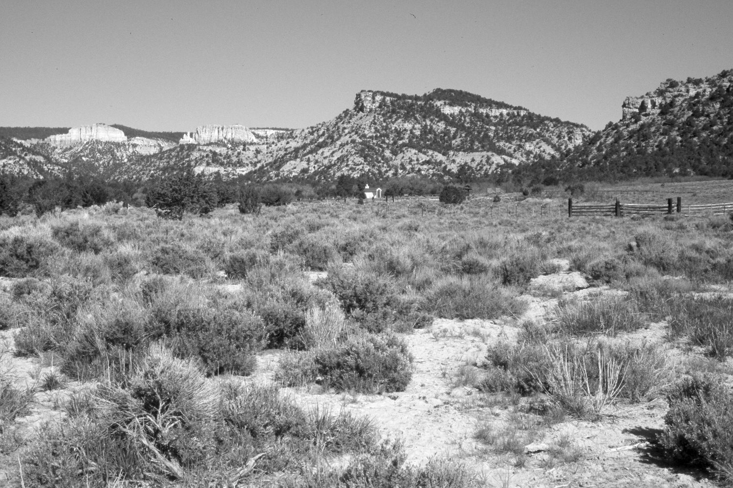
Sheep Creek
1961
2004
Description:
Plate 401X. Sheep Creek 1961 – 2004 Viewed west-northwest up Sheep Creek from just above the Dixie National Forest boundary. The area was root-plowed and reseeded with crested wheatgrass a year or two prior to when the original photograph was taken. Despite that treatment, mountain big sagebrush has increased, as have pinyon and juniper, while grasses have declined. Cottonwood, river birch, and oakbrush, seen in the distance, grow along Sheep Creek. The more distant cliffs and canyons are part of Bryce Canyon National Park. The area is now a Forest Service trailhead. Stock corrals, a parking area, and a vault toilet have recently been constructed. The area was not grazed by livestock in 2004.
Photo Information:
U.S. Forest Service photograph taken by O.L. Daniels in 1961; retake by Charles E. Kay on May 9, 2004 - - Photo No. 5287-12. Original photograph held in the range files on the Panguitch Ranger District, Dixie National Forest, Panguitch, UT.
Vegetative Community:
Pinyon, Juniper, Riparian, Oakbrush
Location:
South West: Section 25, Range 4 West, Township 37 South; UTM 396800 E, 4156500 N; elevation 6,780 ft.