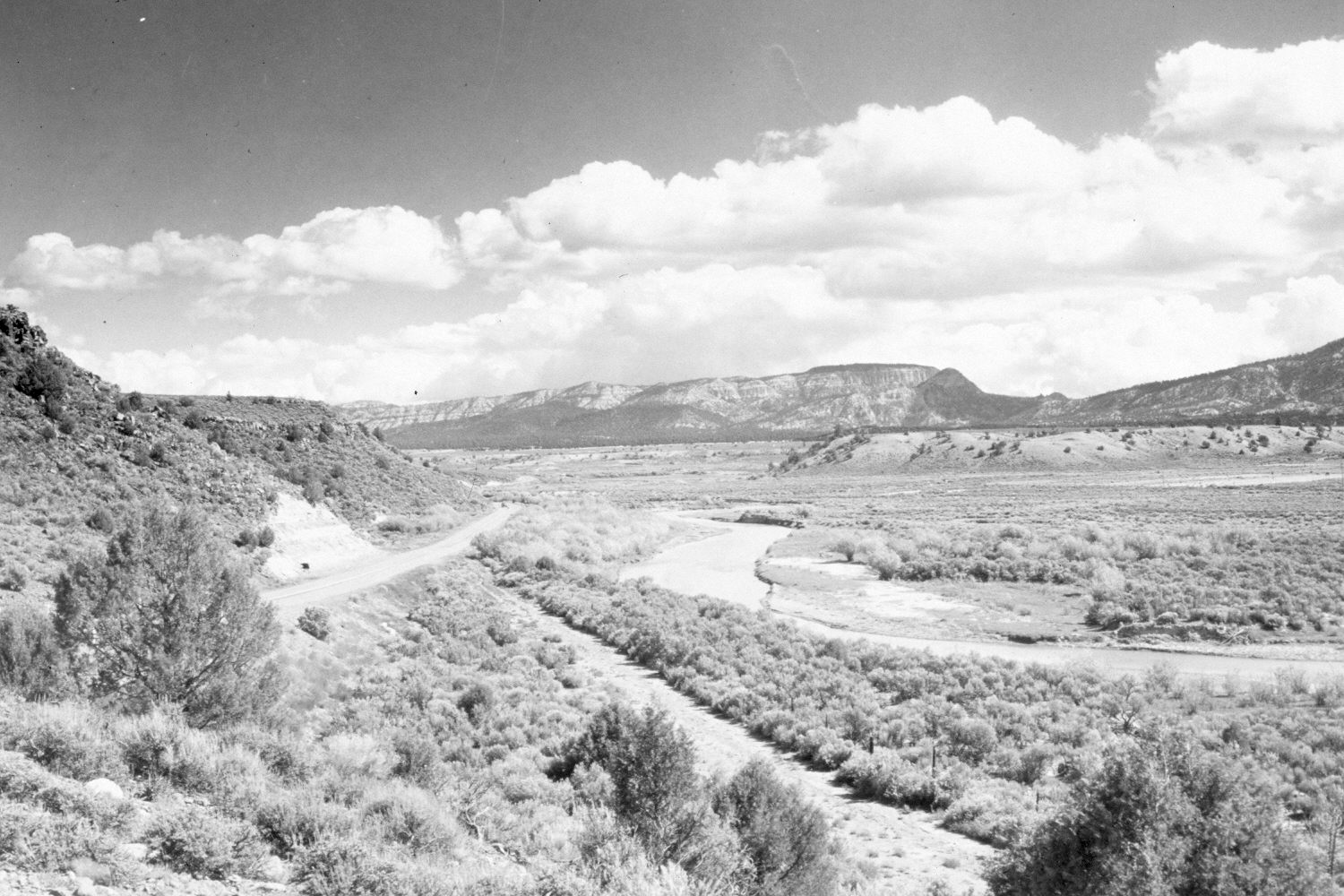
Sevier River
1940
2004
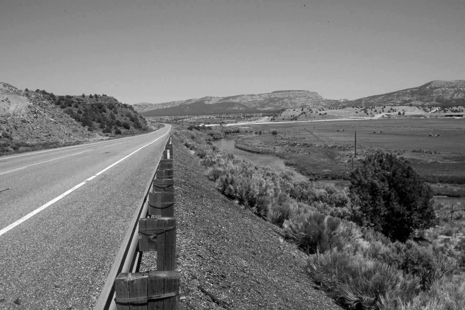
Description:
Plate 488X. Sevier River 1940 – 2004 Viewed northeast down the Sevier River about a mile and a half north of Hatch, UT. Wilson Peak (9,034 ft.) is on the skyline. U.S. Highway 89 has been realigned and irrigated fields have been established east of the river. Pinyon and juniper have increased. Although willows have declined, the stream banks appear to be more heavily vegetated today than in the past. Russian olive has increased.
Photo Information:
Original photograph taken by H.E. Gregory (No. 1005) in 1940; retake by Charles E. Kay on June 8, 2004 - - Photo No. 5337-13. Original photograph held in the U.S. Geological Survey Photograph Library, Denver, CO.
Vegetative Community:
Pinyon, Juniper, Riparian
Location:
South West: Section 22, Range 5 West, Township 36 South; UTM 375250 E, 4169800 N; elevation 6,860 ft.