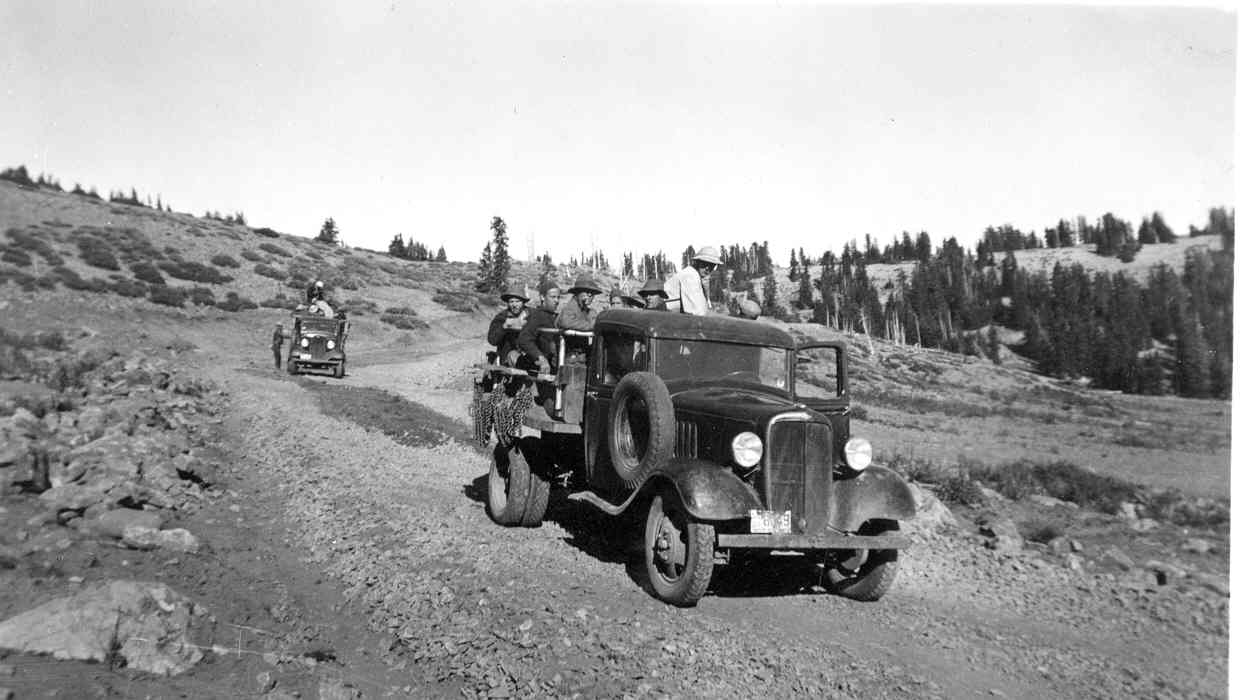
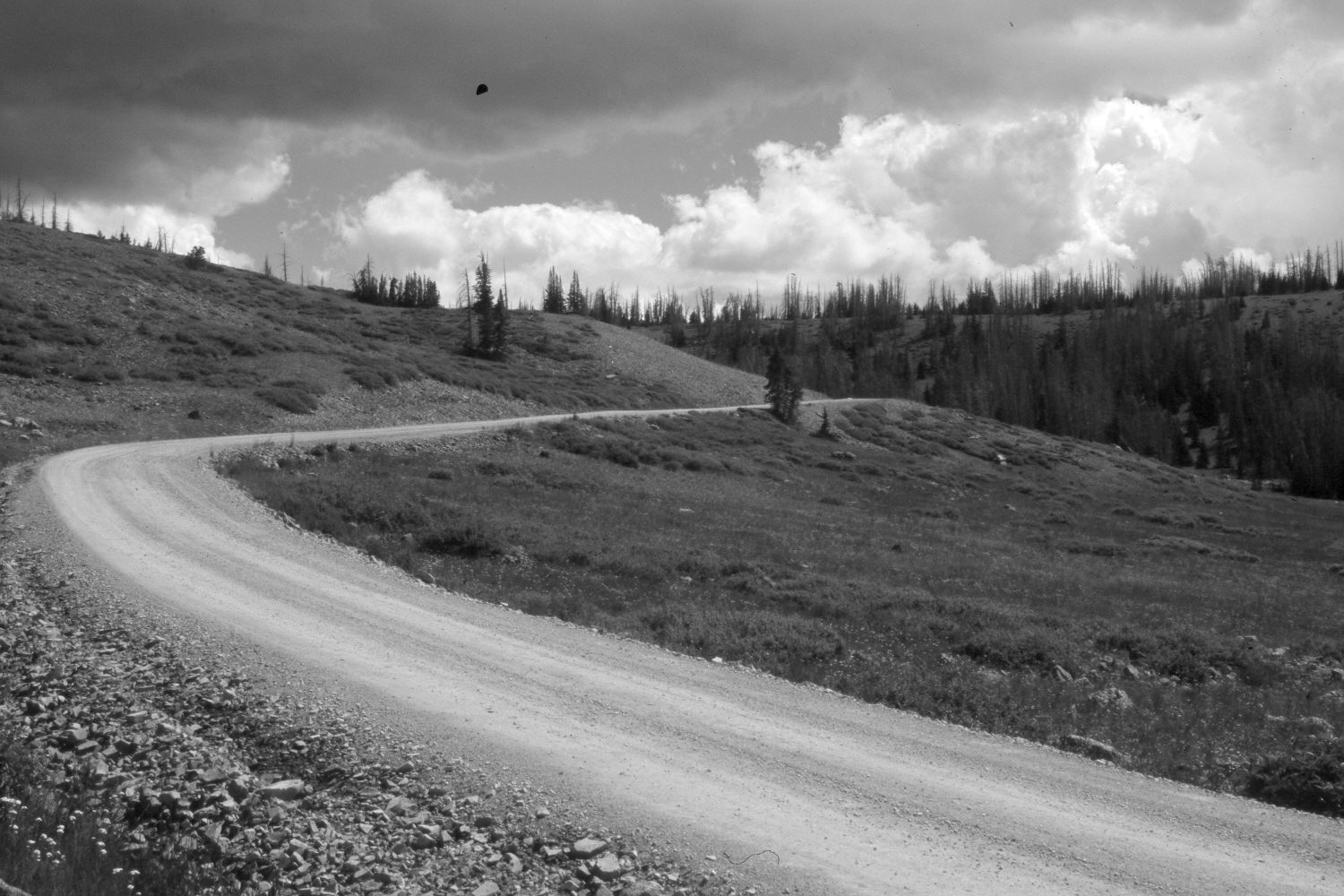
Road To Brian Head
1935
2006
Description:
Plate 1363X. Road to Brian Head 1935 – 2006 Viewed north-northeast up the road to Brian Head. The trucks in the 1935 image were used by the CCC to build the road, which has been improved and today is passable to passenger cars during summer. Spruce have increased but most of the older trees were recently killed by insects and disease. The low-growing shrubs are currants, which appear to have increased.
Photo Information:
Original photograph taken by Avard Rogers in 1935; retake by Charles E. Kay on August 3, 2006 - - Photo No. 5702-32. Original photograph (Zion 12669) held by the National Park Service, Zion National Park, Springdale, UT.
Vegetative Community:
Conifer, Dry Meadow
Location:
South West: Section 12, Range 9 West, Township 36 South; UTM 339250 E, 4171750 N; elevation 10,840 ft.