Puma Hollow
1963

2003
Description:
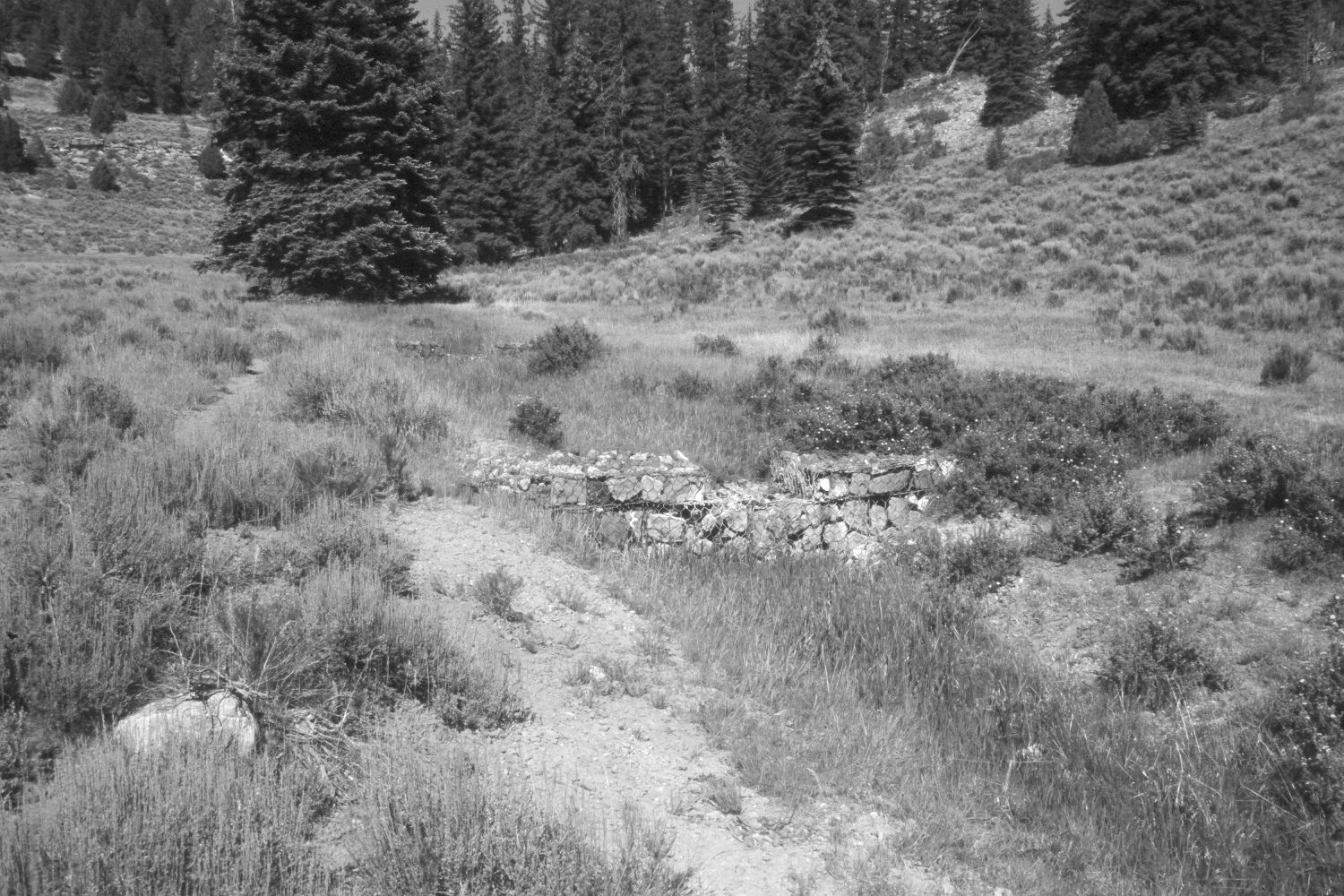
Plate 262X. Puma Hollow 1963-2003 Viewed northeast up Puma Hollow just above its confluence with the East Fork of the Sevier River on the Paunsaugunt Plateau. Shown are the wire and rock gabions built by the Forest Service to control headwall erosion on this small stream. Spruce and juniper have increased, as has shrubby cinquefoil along the creek. Sagebrush has increased on the drier hillsides. Sedges line the stream channel, while Kentucky bluegrass and intermediate wheatgrass are common on drier sites. The area had been grazed by cattle in 2003. Retakes were also made by the Forest Service in 1983 and 2000.
Photo Information:
U.S. Forest Service photograph (unnumbered) taken in 1963; retake by Charles E. Kay on August 5, 2003 - - Photo No. 5216-15. Original photograph held in the range files on the Panguitch Ranger District, Dixie National Forest, Panguitch, UT.
Vegetative Community:
Riparian, Conifer, Juniper, Sagebrush, Dry Meadow
Location:
South West: Section 12, Range 4½ West, Township 38 South; UTM 386150E, 4152350 N; elevation 8,000 ft.