Puffer Lake
1947
1999
Description:
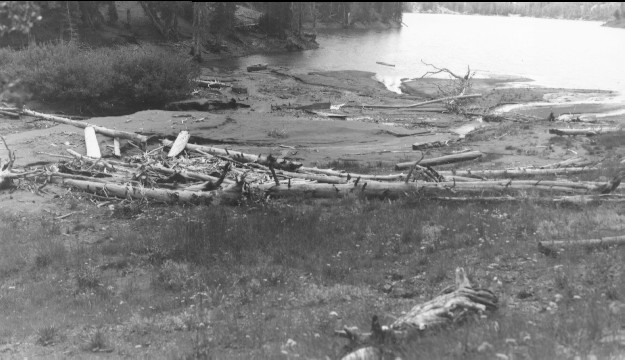
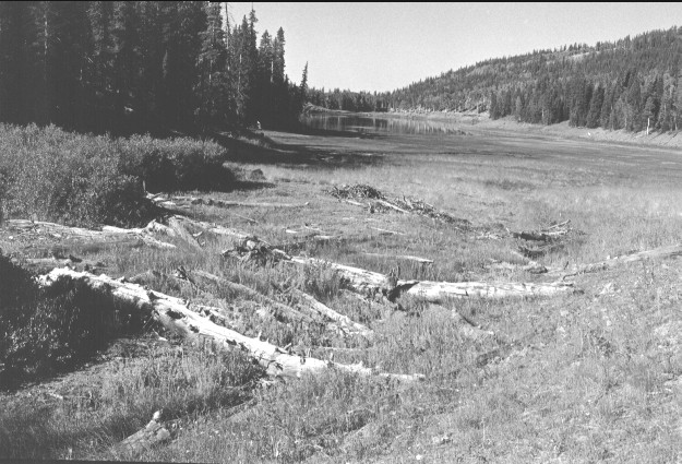
Plate 150 PUFFER LAKE: 1947 - 1999 This shows where Lake Stream enters Puffer Lake. The 1947 photo was taken to show the sediment that had washed into the lake during heavy precipitation events on August 9 and 12 – an indication of widespread soil erosion in this drainage. The lake is private, but most of the watershed is part of the National Forest. Willows (Salix spp.) appear largely unchanged between 1947 and 1999, but conifers have increased while aspen (Populus tremuloides) has declined (see Plates 147-149).
Photo Information:
1947 photo taken on Aug. 13 by the U.S. Forest Service; 1999 photo taken by Kay #4502-22A on Sept. 7. Forest Service photo [14 Flood Control] held by the Beaver Ranger District, Fishlake national Forest, Beaver, UT
Vegetative Community:
Aspen, Conifer, Riparian
Location:
South Central: Tushar Mountains, Fishlake National Forest, Beaver Ranger District; T29S, R4W, Sect. 6, UTM 4242000 N, 381350 E; elevation 9,665 ft., viewed to southwest.