Podunk Creek
1964
2003
Description:
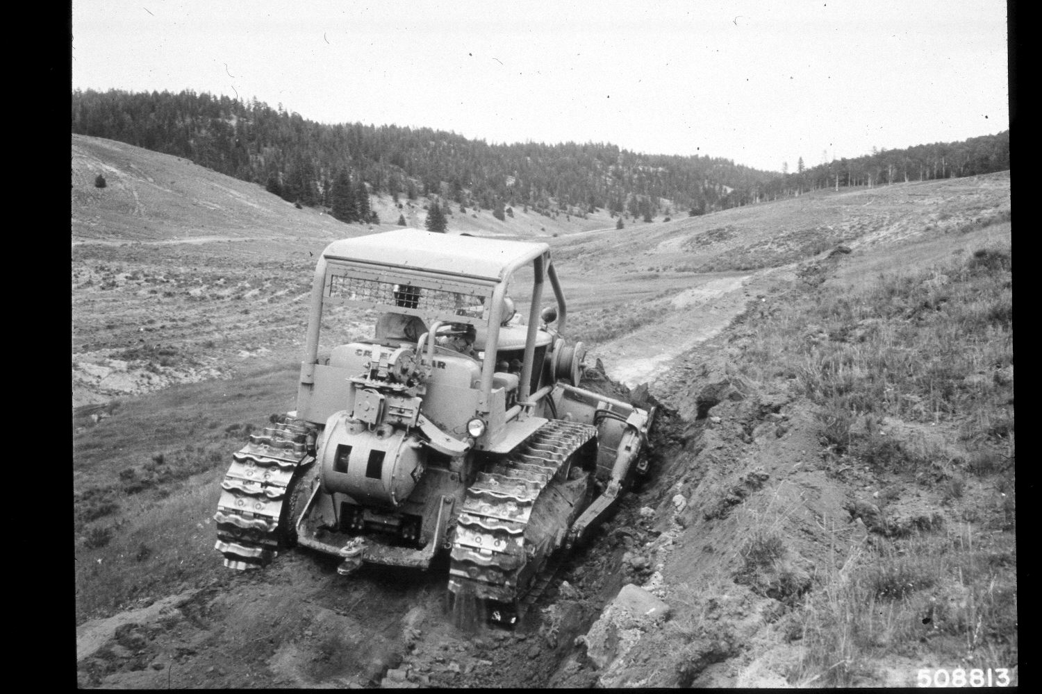
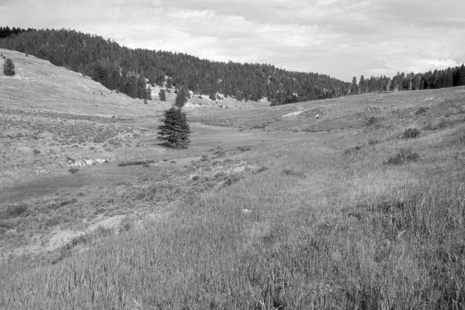
Plate 295X. Podunk Creek 1964 - 2003 Viewed southeast up Podunk Creek on the Paunsaugunt Plateau. Shown in the original image is a D-7 cat constructing contour trenches. This entire area was reseeded by the Forest Service with smooth brome, intermediate grass, and Kentucky bluegrass to control erosion and improve range conditions. Spruce, ponderosa pine, and juniper have all increased, while aspen has declined. The trees along the creek in the retake were partially blocked from view in the 1964 image by the D-7 cat. The shrubs are mostly rubber rabbitbrush with a few shrubby cinquefoil along the stream.
Photo Information:
U.S. Forest Service photograph (508813) taken by Prater in August 1964; retake by Charles E. Kay on August 7, 2003 - - Photo No. 5229-25. Original photograph (2520-2-Land Treatment-Dixie) held by the Forest Service Regional Office Photographic Collection housed at Weber State University, Ogden, UT.
Vegetative Community:
Dry Meadow, Conifer, Juniper, Aspen, Riparian
Location:
South West: Section 24, Range 4½ West, Township 38 South; UTM 386200E, 4149750 N; elevation 8,160 ft.