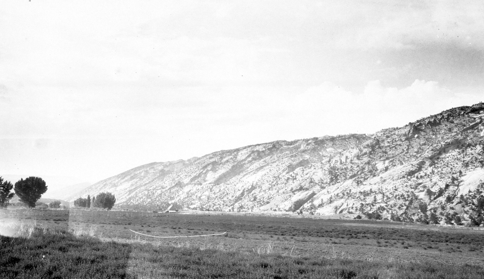
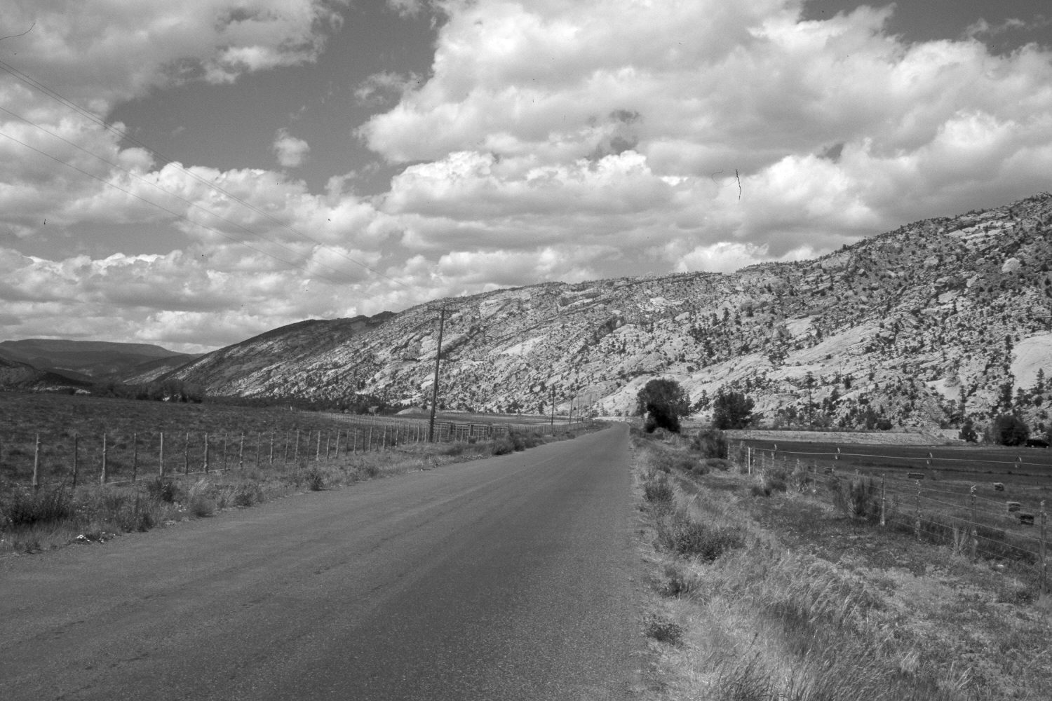
Pine Creek
1918
2004
Description:
Plate 506X. Pine Creek 1918 – 2004 Viewed north-northwest up Pine Creek north of Escalante, UT. Boulder Top is on the left skyline. The road up Pine Creek has been rerouted, widened, and paved. Woody riparian vegetation appears to have increased along Pine Creek, which flows at the base of the uplift on the right. Pinyon and juniper appear largely unchanged on the rocky slopes above the creek.
Photo Information:
Original photograph taken by H.E. Gregory (No. 383) in 1918; retake by Charles E. Kay on June 10, 2004 - - Photo No. 5344-10. Original photograph held by the U.S. Geological Survey Photographic Library, Denver, CO.
Vegetative Community:
Riparian, Pinyon, Juniper
Location:
South West: Section 5, Range 3 East, Township 35 South; UTM 448100 E, 4182300 N; elevation 5,890 ft.
January 2018