Panguitch Lake
1941

2005
Description:
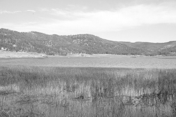
Plate 1022X. Panguitch Lake 1941 – 2005 Viewed northwest across Panguitch Lake to Clear Creek from Panguitch Lake Resort. Conifers and summer homes have increased in the distance, while aspen has declined. The lake level was higher in 2005 than in 1941.
Photo Information:
U.S. Forest Service photograph (410842) taken by Paul S. Bieler in June 1941; retake by Charles E. Kay on August 3, 2005 - - Photo No. 5511-15. Original photograph (2330 – Dixie – 2) held in the U.S. Forest Service Regional Office Photographic Collection house at Weber State University, Ogden, UT.
Vegetative Community:
Conifer, Aspen
Location:
South West: Section 4, Range 7 West, Township 36 South; UTM 355350 E, 4174650 N; elevation 8,212 ft.
January 2018