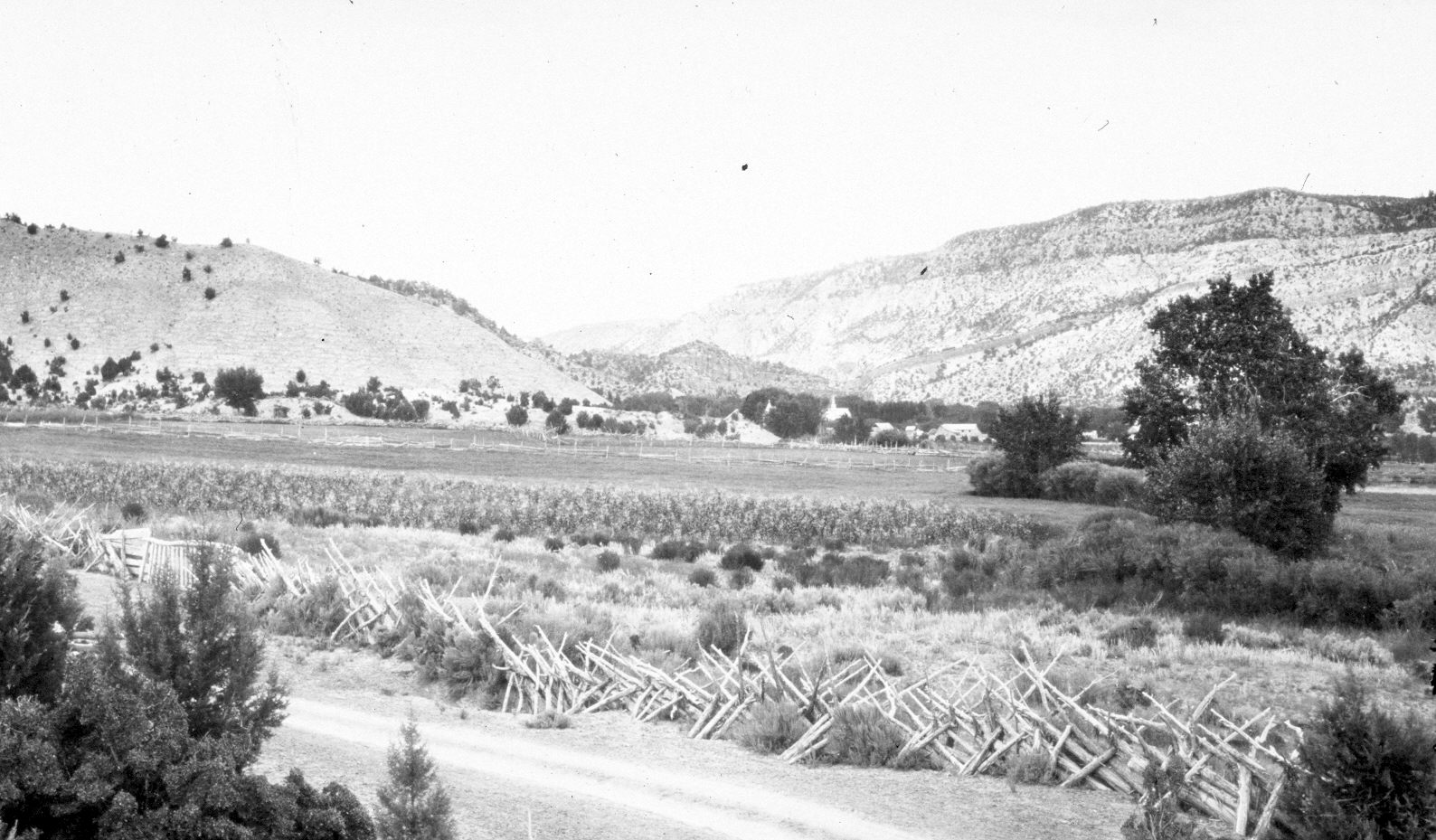
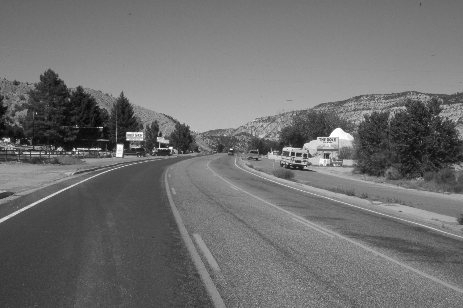
Orderville, Utah
1909
2004
Description:
Plate 551X. Orderville, UT 1909 – 2004 Viewed northwest to Orderville, UT. U.S. Highway 89 has been realigned, widened, and paved. The town has expanded to the southwest. Note how heavily grazed and contour-trailed the hill closest to the camera was in 1909. This likely was done by domestic sheep. Today, range conditions have improved and trailing has been eliminated.
Photo Information:
Original photograph taken by G.B. Richardson (No. 193) in 1909; retake by Charles E. Kay on July 2, 2004 - - Photo No. 5363-16. Original photograph held in the U.S. Geological Survey Photographic Library, Denver, CO.
Vegetative Community:
Pinyon, Juniper
Location:
South West: Section 5, Range 7 West, Township 41 South; UTM 353900 E, 4126200 N; elevation 5,460 ft.
January 2018