North Fork Of Chalk Creek Pavant Mountains
1963
2000
Description:
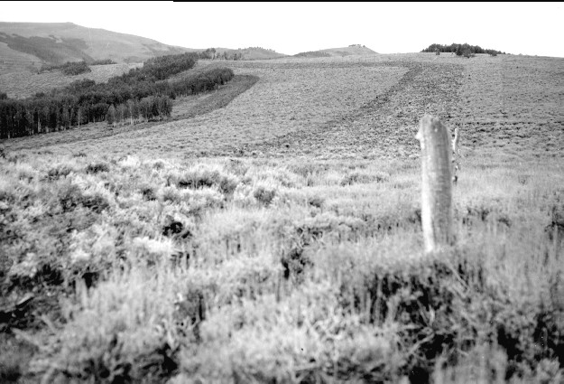
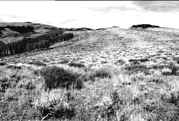
Plate 304. NORTH FORK OF CHALK CREEK PAVANT MOUNTAINS 1963-2000 Plates 304 and 305 form a panorama from northeast to east-northeast on the ridge between the North Fork of Chalk Creek (photo left) and Chokecherry Creek in the Pavant Mountains. This area was treated with a Dixie harrow and reseeded to eliminate sagebrush, but sagebrush has reinvaded the site. Snowberry is the darker-colored shrub. The fence has been removed. Aspen has not regenerated due to excessive browsing. Plate 304 is viewed northeast to Jacks Peak (10,072 ft) and Willow Creek Peak (9,765 ft).
Photo Information:
U.S. Forest Service photo (unnumbered) by B.G. Molyneaux on September 14, 1963; retake by Charles E. Kay on September 4, 2000 - - Photo No. 4719-23; Original photo (2200D) held by Fillmore Ranger District, Fishlake National Forest, Fillmore, UT.
Vegetative Community:
Sagebrush, Mountain Brush, Aspen
Location:
South Central: Section 36, Range 3 W, Township 21 S; UTM 400400 E, 4311100 N; elevation 9,440 ft.