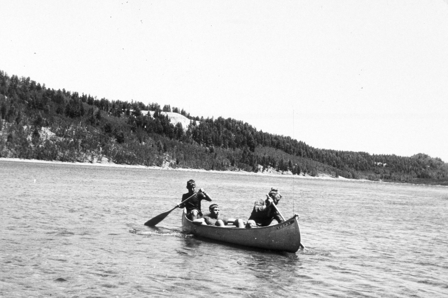
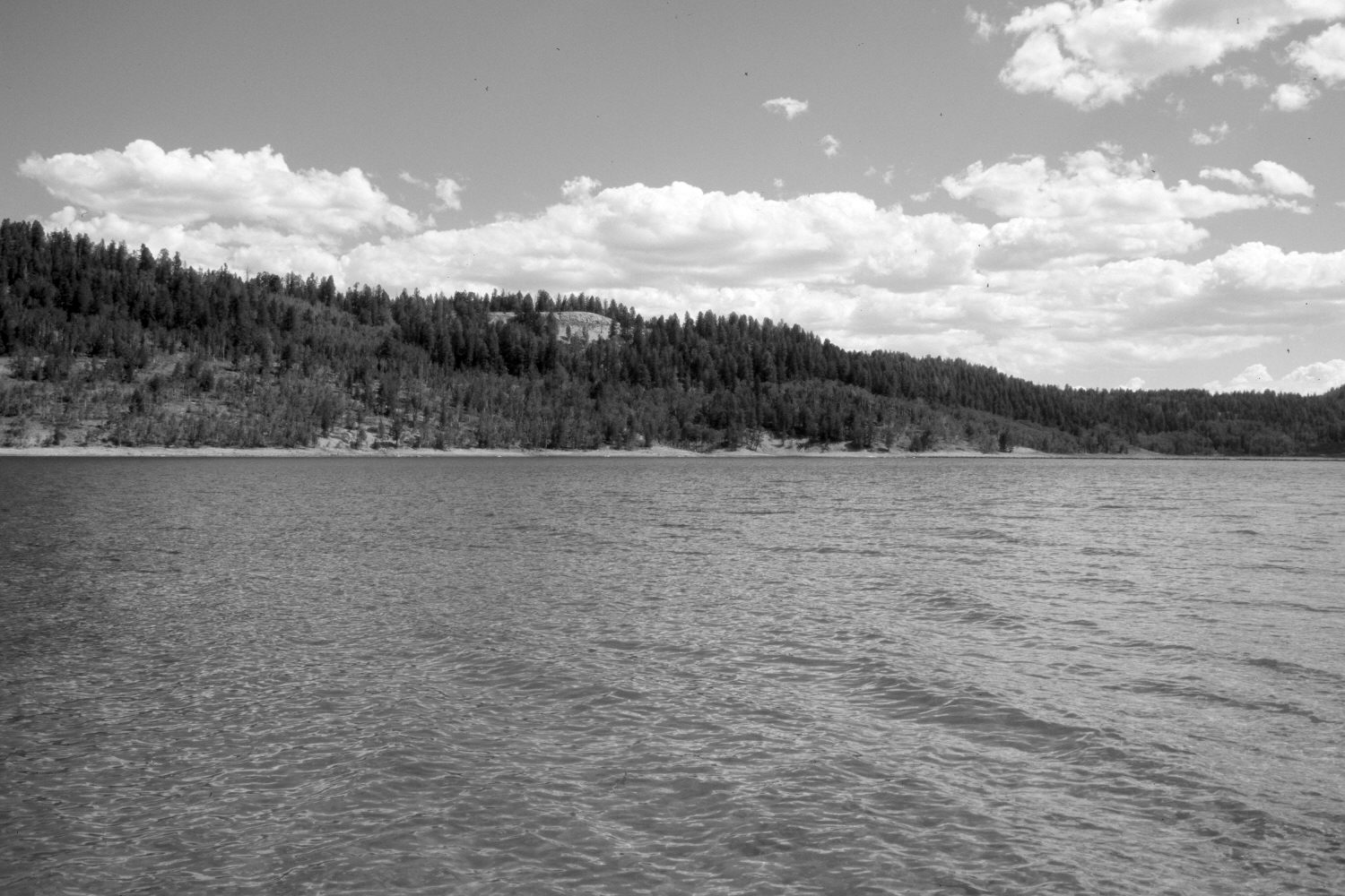
Navajo Lake
1967
2004
Description:
Plate 619X. Navajo Lake 1967 – 2004 Viewed northeast to Navajo Lake on the Dixie National Forest. Navajo Lake dam is visible in both photographs - - photo right-center. In the distance, ponderosa pine and Douglas fir have increased, while aspen has declined. The rock cut on the ridge is the overlook on Utah Highway 14 - - see Plates 605x and 606x. The hill on the right skyline is the photopoint for Plate 634x.
Photo Information:
U.S. Forest Service photograph taken by F. Jensen in August 1967; retake by Charles E. Kay on August 10, 2004 - - Photo No. 5386-8. Original photograph (2330-2-Dixie-710) held in the U.S. Forest Service Regional Office Photographic Collection housed at Weber State University, Ogden, UT.
Vegetative Community:
Riparian, Conifer, Aspen
Location:
South West: Section 8, Range 8 West, Township 38 South; UTM 343700 E, 4153650 N; elevation 9,030 ft.