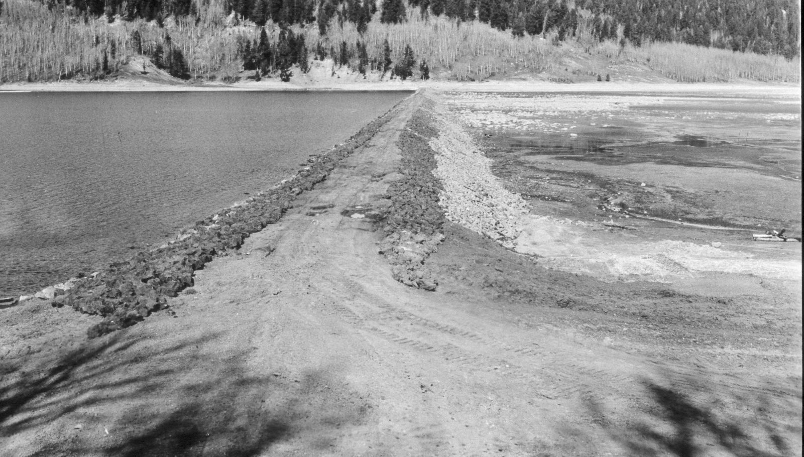
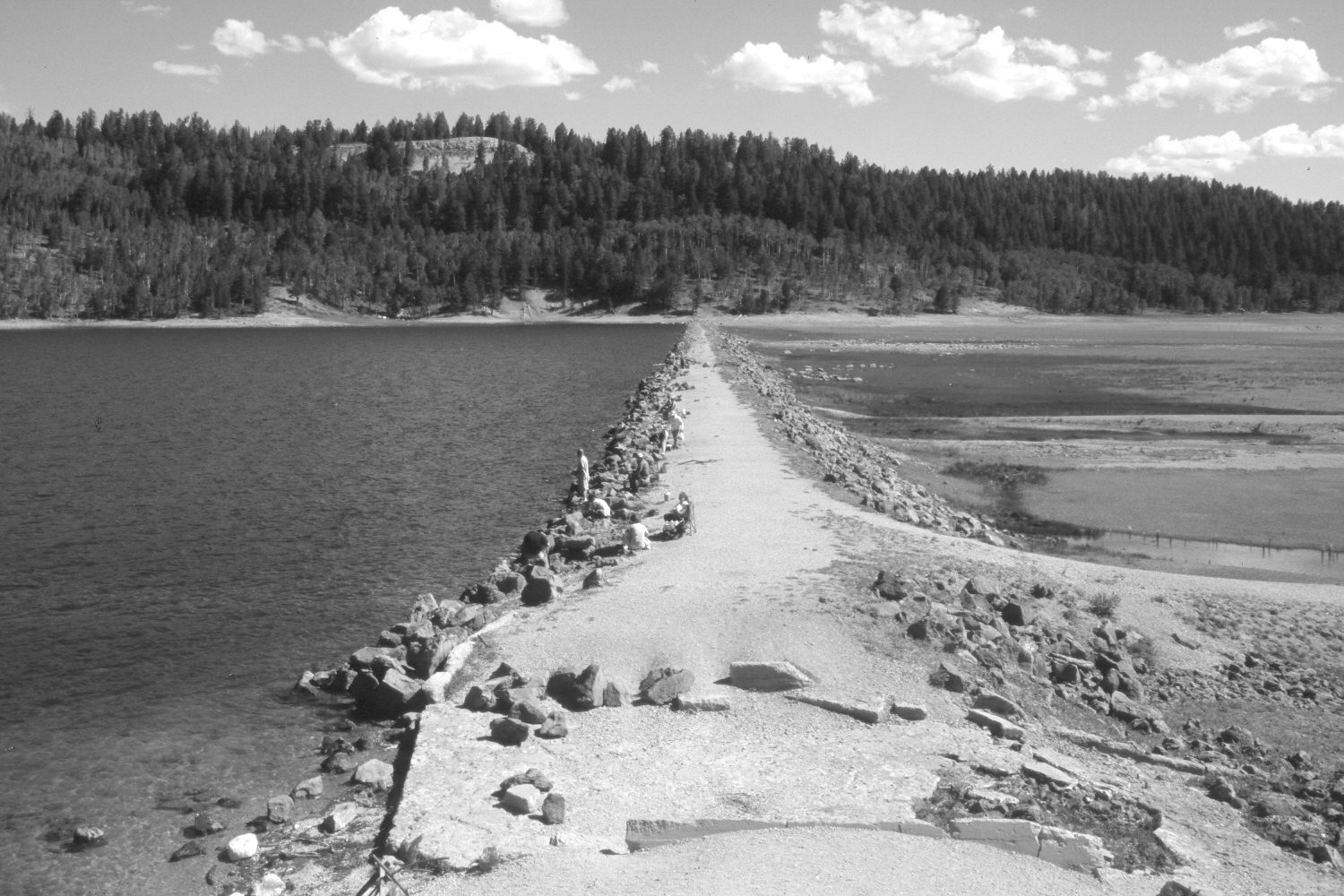
Navajo Lake
1939
2004
Description:
Plate 616X. Navajo Lake 1939 – 2004 Viewed north along the dam on Navajo Lake. The original image was made shortly after the dam had been rebuilt following its failure earlier in the year - - see Plates 612x and 613x. In the distance, ponderosa pine and Douglas fir have increased, while aspen has declined. A new spillway has been added. The rock cut on the skyline is the overlook on Utah Highway 14 - - see Plates 605x and 606x.
Photo Information:
U.S. Forest Service photograph taken in May 1939; retake by Charles E. Kay on August 10, 2004 - - Photo No. 5383-35A. Original photograph held by Southern Utah University Archives and Special Collections, Cedar City, UT.
Vegetative Community:
Riparian, Conifer, Aspen
Location:
South West: Section 8, Range 8 West, Township 38 South; UTM 344100 E, 4153650 N; elevation 9,030 ft.