Murie Creek
1909
2006
Description:
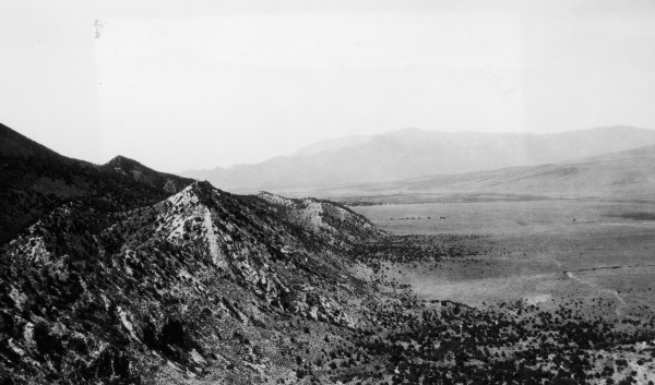
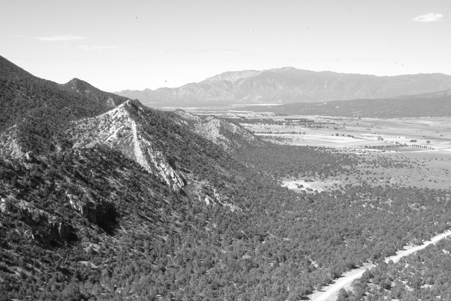
Plate 1419X. Murie Creek 1909 – 2006 Viewed southwest across the mouth of Murie Creek to the southern end of Cedar Valley. The Pine Valley Mountains are in the distance. Also visible is the town of Kanarraville near the center of the photos. The photopoint is on the south end of the North Hills. Hurricane Cliffs are on the left. Agricultural fields have increased, as have pinyon and juniper. The gully in the lower left has widened, deepened, and extended up-slope.
Photo Information:
Original photograph taken by G.B. Richardson (No. 176) in 1909; retake by Charles E. Kay on August 8, 2006 - - Photo No. 5727-3. Original photograph held by the U.S. Geological Survey Photographic Library, Denver, CO.
Vegetative Community:
Pinyon, Juniper
Location:
South West: Section 19, Range 11 West, Township 37 South; UTM 311150 E, 4160000 N; elevation 6,400 ft.