Mud Spring Creek
1934
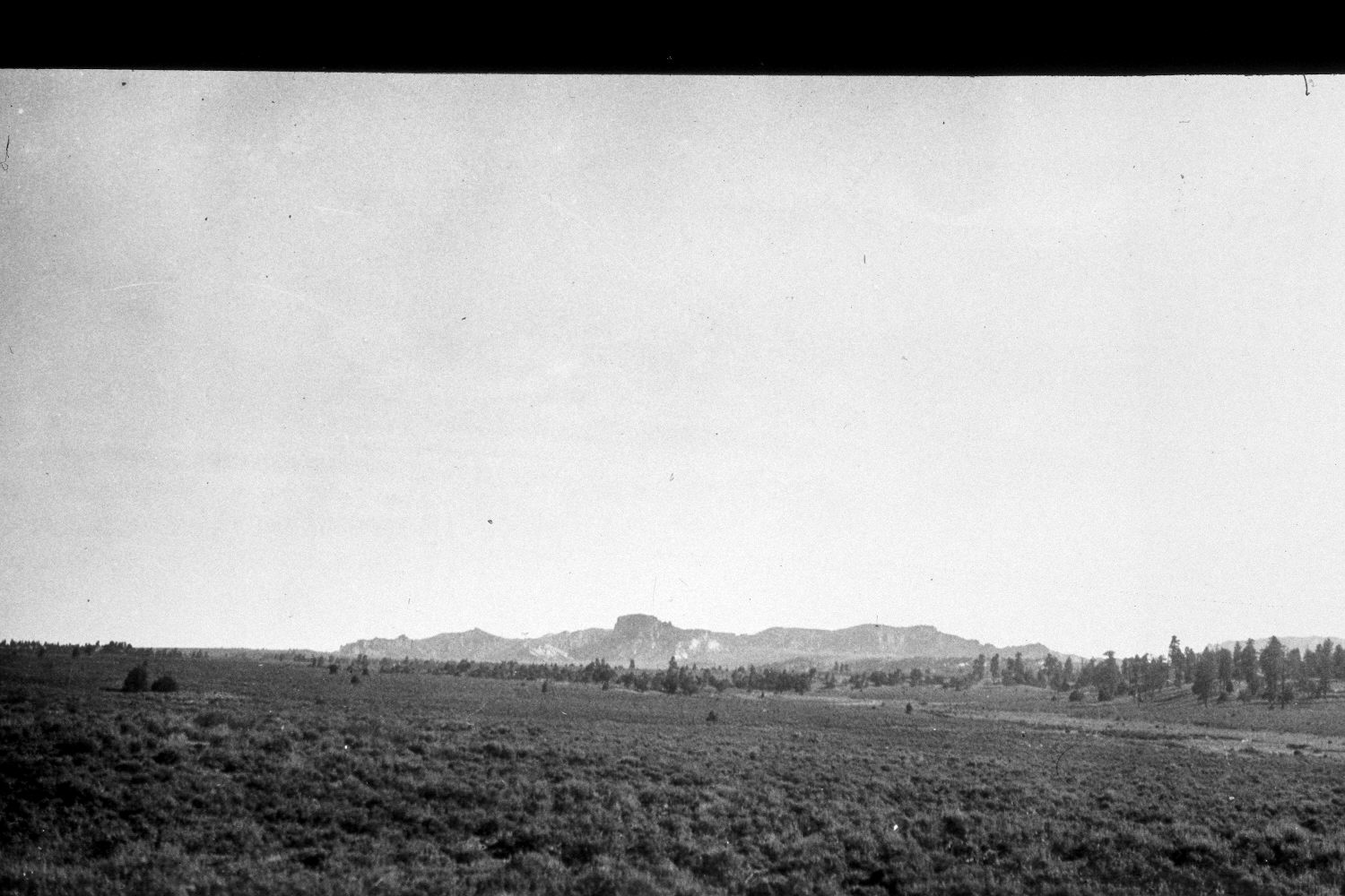
2003
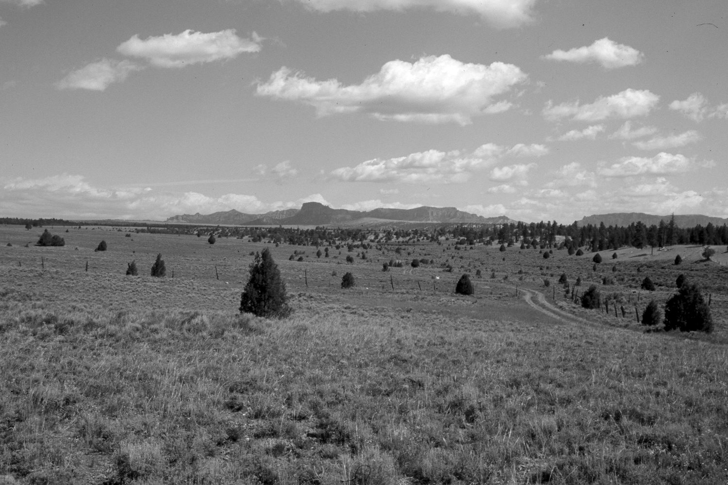
Description:
Plate 129X. Mud Spring Creek 1934-2003 Viewed north-northwest up Mud Spring Creek with Casto Peak (9,580 ft.) and Flat Top (9,374 ft.) in the distance. All the large trees seen in the original have since been logged, but ponderosa pine has actually increased, as have pinyon and juniper. Mountain big sage and rubber rabbitbrush occupy the stream terraces, while black sage dominates the drier sites. The foreground in the retake is ungrazed, as it is within the fenced highway right-of-way. The area behind the fence, however, is grazed by cattle. Note the horse in the original for scale (photo right-edge).
Photo Information:
U.S. Geological Survey photograph taken by H.E. Gregory (No. 743) in 1934; retake by Charles E. Kay on June 23, 2003 - - Photo No. 5164-27. Original photograph held by U.S. Geological Survey Photographic Library, Denver, CO.
Vegetative Community:
Conifer, Pinyon, Juniper, Sagebrush
Location:
South West: Section 34, Range 4 West, Township 35 South; UTM 392600 E, 4174450 N; elevation 7,740 ft.