Johns Valley
1945
2003
Description:
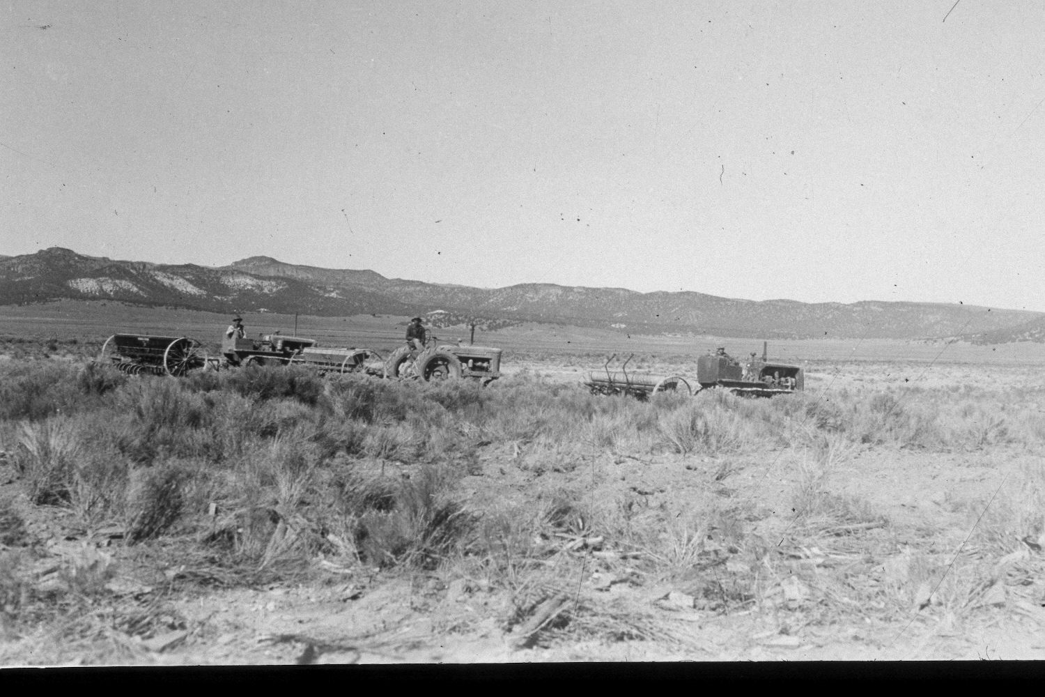
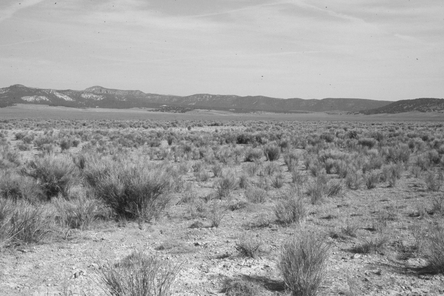
Plate 195X. Johns Valley 1945 - 2003 This part of Johns Valley was once cropland that was abandoned only to be colonized by rubber rabbitbrush and sagebrush. The Forest Service subsequently root-plowed and reseeded the area as part of the Widtsoe Project. Crested wheatgrass is still present but the site has now been reinvaded by rubber rabbitbrush. Viewed northwest to Little Cottonwood Creek. Plates 194x, 195x, and 196x form a panorama. Pictured are two 18 ft. and one 14 ft. rangeland drills used to reseed the area. The area was heavily grazed by cattle in 2003. The foreground is state land while the more distant areas are administered by the Dixie National Forest.
Photo Information:
U.S. Forest Service photograph (unnumbered) taken by Albert Albertson on October 25, 1945; retake by Charles E. Kay on July 18, 2003 - - Photo No. 5191-12. Original photograph held by Southern Utah University Archives and Special Collections, Cedar City, UT.
Vegetative Community:
Sagebrush, Pinyon, Juniper
Location:
South West: Section 28, Range 2 West, Township 33 South; UTM 410600E, 4195000N; elevation 7,280 ft.